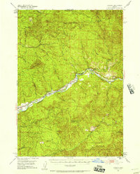
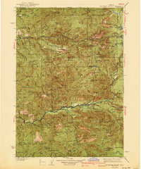
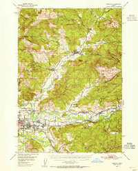
1951 Map of Leaburg
USGS Topo · Published 1958About this map
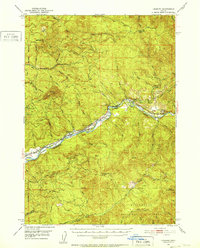
The Mc Kenzie River corridor serves as the central artery for this mid-century portrait of Lane County, Oregon, where hydropower and hatcheries define the local economy. Significant infrastructure is present along the water, including the Leaburg Dam and the Leaburg Power Plant, which harness the river's flow. The map documents a specialized aquaculture landscape with both the McKenzie Salmon Hatchery and McKenzie Trout Hatchery established along the banks.
Find a feature on this map
52 named features on this map. Tap any name to fly to it.
Don’t see what you’re looking for? This feature index may not catch every label — zoom into the map to look around manually.
Map Details
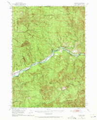
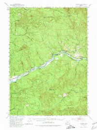
Editions of this 1951 Leaburg Map
4 editions found
Other maps of this area
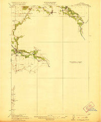
1921 · Brownsville
USGS Topo · 1:62,500

1925 · Waldo Lake
USGS Topo · 1:125,000

1934 · Mc Kenzie Bridge
USGS Topo · 1:96,000

1935 · Lowell
USGS Topo · 1:96,000
1940 · Mc Kenzie Bridge
USGS Topo · 1:125,000

1942 · Lowell
USGS Topo · 1:125,000
1950 · Marcola
USGS Topo · 1:62,500
1950 · Brownsville
USGS Topo · 1:62,500
1951 · Sweet Home
USGS Topo · 1:62,500
1951 · Leaburg
USGS Topo · 1:62,500