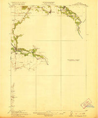
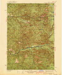
1951 Map of Leaburg
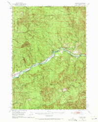
USGS Topo · Published 1972About this map
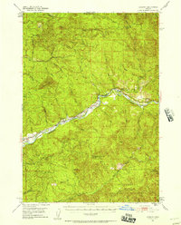
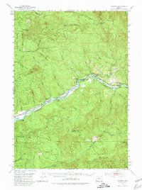
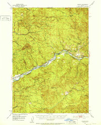
The Mc Kenzie River corridor serves as the primary artery for settlement and infrastructure in this 1951 survey of Lane County. Industrial and conservation efforts are evident along the river's path, most notably at the Leaburg Power Plant and the McKenzie Salmon Hatchery. These facilities, alongside the Leaburg Dam, reflect the mid-century development of water resources and wildlife management in the Pacific Northwest. Small riverside communities like Leaburg, Vida, and Deerhorn follow the winding topography, providing a glimpse into the historic residential patterns before more intensive modern expansion.
Find a feature on this map
44 named features on this map. Tap any name to fly to it.
Don’t see what you’re looking for? This feature index may not catch every label — zoom into the map to look around manually.
Map Details
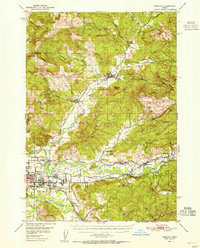
Editions of this 1951 Leaburg Map
4 editions found
Other maps of this area
1921 · Brownsville
USGS Topo · 1:62,500

1925 · Waldo Lake
USGS Topo · 1:125,000

1934 · Mc Kenzie Bridge
USGS Topo · 1:96,000

1935 · Lowell
USGS Topo · 1:96,000
1940 · Mc Kenzie Bridge
USGS Topo · 1:125,000

1942 · Lowell
USGS Topo · 1:125,000
1950 · Marcola
USGS Topo · 1:62,500
1950 · Brownsville
USGS Topo · 1:62,500
1951 · Sweet Home
USGS Topo · 1:62,500
1951 · Leaburg
USGS Topo · 1:62,500