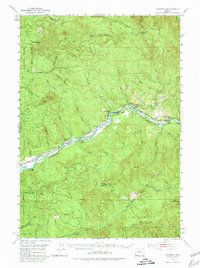
1951 Map of Leaburg
USGS Topo · Published 1980About this map
The McKenzie River corridor serves as the primary artery for settlement and industry in this 1951 survey of eastern Lane County. Significant infrastructure developments are visible along the river, including the Leaburg Dam and the Leaburg Power Plant, which highlight the era's focus on hydroelectric power and water management. Small communities like Leaburg, Vida, and Gate are concentrated along the valley floor, while the surrounding landscape is dominated by the steep timberlands of the Willamette National Forest.
Find a feature on this map
41 named features on this map. Tap any name to fly to it.
Don’t see what you’re looking for? This feature index may not catch every label — zoom into the map to look around manually.
Map Details
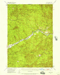
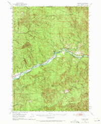
Editions of this 1951 Leaburg Map
4 editions found
Other maps of this area

1921 · Brownsville
USGS Topo · 1:62,500

1925 · Waldo Lake
USGS Topo · 1:125,000

1934 · Mc Kenzie Bridge
USGS Topo · 1:96,000

1935 · Lowell
USGS Topo · 1:96,000

1940 · Mc Kenzie Bridge
USGS Topo · 1:125,000

1942 · Lowell
USGS Topo · 1:125,000

1950 · Marcola
USGS Topo · 1:62,500

1950 · Brownsville
USGS Topo · 1:62,500

1951 · Sweet Home
USGS Topo · 1:62,500

1951 · Leaburg
USGS Topo · 1:62,500