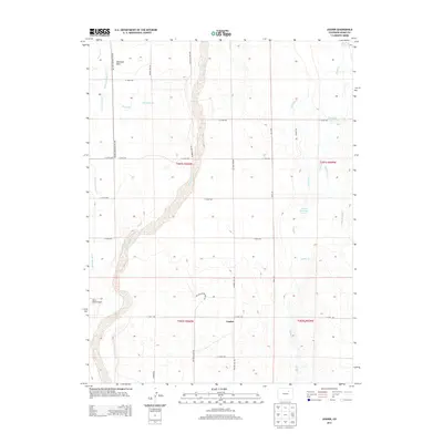
2013 Map of Leader
USGS Topo · Published 2013About this map
Bijou Creek winds through the heart of this High Plains landscape in Adams County, anchoring a network of drainage and irrigation infrastructure essential to the region. The small settlement of Leader sits near the intersection of several section roads, including Rector-Leader Rd and E 112th Ave. The terrain is characterized by broad expanses like Antelope Flats, where water management is evident through features such as Nile Reservoir, Baseline Reservoir, and Moore Reservoir Number 1.
Find a feature on this map
33 named features on this map. Tap any name to fly to it.
Don’t see what you’re looking for? This feature index may not catch every label — zoom into the map to look around manually.
Map Details
Editions of this 2013 Leader Map
This is the sole edition of this map. No revisions or reprints were ever made.
Other maps of this area

1950 · Wiggins SW
USGS Topo · 1:24,000

1950 · Hoyt
USGS Topo · 1:24,000

1951 · Hoyt
USGS Topo · 1:24,000

1951 · Leader NW
USGS Topo · 1:24,000

1951 · Leader SE
USGS Topo · 1:24,000

1951 · Leader
USGS Topo · 1:24,000

1952 · Leader SW
USGS Topo · 1:24,000

1953 · Denver
USGS Topo · 1:250,000

1954 · Limon
USGS Topo · 1:250,000

1954 · Sterling
USGS Topo · 1:250,000