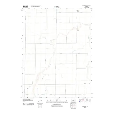
2010 Map of Leader SW
USGS Topo · Published 2010About this map
West Bijou Creek and its many meandering tributaries define the landscape of this eastern Adams County region. The map captures a transition in rural land use, where established agricultural operations like the Staple D Ranch, Munson Ranch, and Bigger Ranch occupy the sprawling drainage basins of the Bijou system. A notable concentration of named ranching infrastructure suggests a long-standing history of cattle or dryland farming, supported by water features such as the Hopewell Ditch and the Sherman Ranch Slough.
Find a feature on this map
36 named features on this map. Tap any name to fly to it.
Don’t see what you’re looking for? This feature index may not catch every label — zoom into the map to look around manually.
Map Details
Editions of this 2010 Leader SW Map
This is the sole edition of this map. No revisions or reprints were ever made.
Other maps of this area

1950 · Roper School
USGS Topo · 1:24,000

1951 · Roper School
USGS Topo · 1:24,000

1951 · Living Springs
USGS Topo · 1:24,000

1951 · Leader NW
USGS Topo · 1:24,000

1951 · Leader SE
USGS Topo · 1:24,000

1951 · Leader
USGS Topo · 1:24,000

1952 · Leader SW
USGS Topo · 1:24,000

1953 · Denver
USGS Topo · 1:250,000

1955 · Strasburg
USGS Topo · 1:24,000

1956 · Peoria
USGS Topo · 1:24,000