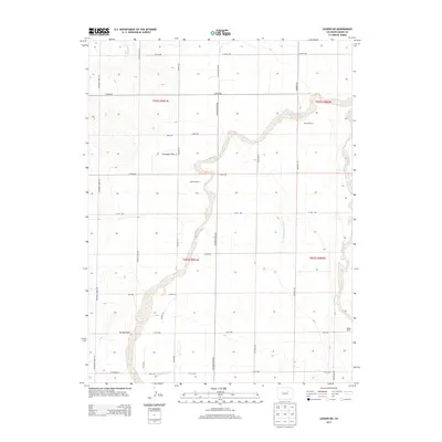
2013 Map of Leader SW
USGS Topo · Published 2013About this map
West Bijou Creek meanders through this portion of Adams County, defining a landscape marked by expansive plains and high-desert ranching. The terrain is characterized by broad features like Antelope Flats and the drainage of Spring Gulch, reflecting the region's reliance on managed water resources as seen with the Hopewell Ditch. A network of section-line roads, including Bradbury Krebs Rd and Calhoun Byers Rd, provides access to several significant homesteads and operations such as Murison Ranch and Staple D Ranch. The presence of Perless Mine Rd suggests a history of localized resource extraction, while named waterways like Sherman Ranch Slough and E Bijou Cr indicate the subtle but critical hydrography of the Colorado high plains.
Find a feature on this map
37 named features on this map. Tap any name to fly to it.
Don’t see what you’re looking for? This feature index may not catch every label — zoom into the map to look around manually.
Map Details
Editions of this 2013 Leader SW Map
This is the sole edition of this map. No revisions or reprints were ever made.
Other maps of this area

1950 · Roper School
USGS Topo · 1:24,000

1951 · Roper School
USGS Topo · 1:24,000

1951 · Living Springs
USGS Topo · 1:24,000

1951 · Leader NW
USGS Topo · 1:24,000

1951 · Leader SE
USGS Topo · 1:24,000

1951 · Leader
USGS Topo · 1:24,000

1952 · Leader SW
USGS Topo · 1:24,000

1953 · Denver
USGS Topo · 1:250,000

1955 · Strasburg
USGS Topo · 1:24,000

1956 · Peoria
USGS Topo · 1:24,000