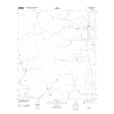
2012 Map of Leakey
USGS Topo · Published 2012About this map
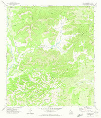
Leakey serves as the focal point of this Real County landscape, situated where the Frio River drainage system meets the high ridges of the Edwards Plateau. The settlement's street grid is clearly defined, with Main St and Evergreen St forming the core, while Leakey Springs provides a nearby water source. This 2012 survey illustrates a region shaped by its hydrology and terrain, where numerous canyons and hollows like Cedar Hollow and Negro Hollow dictate the placement of ranch roads and remote homesteads.
Find a feature on this map
63 named features on this map. Tap any name to fly to it.
Don’t see what you’re looking for? This feature index may not catch every label — zoom into the map to look around manually.
Map Details
Editions of this 2012 Leakey Map
This is the sole edition of this map. No revisions or reprints were ever made.
Other maps of this area

1954 · San Antonio
USGS Topo · 1:250,000

1956 · Utopia
USGS Topo · 1:62,500

1957 · San Antonio
USGS Topo · 1:250,000

1957 · York Hollow
USGS Topo · 1:62,500

1960 · Magers Crossing
USGS Topo · 1:24,000

1964 · Circle Bluff
USGS Topo · 1:24,000
1969 · Rio Frio
USGS Topo · 1:24,000
1971 · Leakey
USGS Topo · 1:24,000
1971 · Owl Hollow
USGS Topo · 1:24,000
1971 · Lake Creek
USGS Topo · 1:24,000