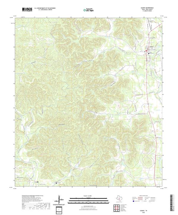
2022 Map of Leakey
USGS Topo · Published 2022About this map
Leakey serves as the focal point of this Real County landscape, situated where Ranch RD 336 and Ranch RD 337 W converge near the Real County Courthouse. The town's grid is bounded by Leakey Springs RD and 7th ST, with Leakey Floral Cem marking the southern edge of the settlement. The surrounding terrain is defined by a dense network of drainages and named depressions, including Tucker Hollow and Cedar Hollow, which feed into local waterways like Patterson Cr and Flat Cr.
Find a feature on this map
66 named features on this map. Tap any name to fly to it.
Don’t see what you’re looking for? This feature index may not catch every label — zoom into the map to look around manually.
Map Details
Editions of this 2022 Leakey Map
This is the sole edition of this map. No revisions or reprints were ever made.
Other maps of this area

1954 · San Antonio
USGS Topo · 1:250,000

1956 · Utopia
USGS Topo · 1:62,500

1957 · San Antonio
USGS Topo · 1:250,000

1957 · York Hollow
USGS Topo · 1:62,500

1960 · Magers Crossing
USGS Topo · 1:24,000

1964 · Circle Bluff
USGS Topo · 1:24,000
1969 · Rio Frio
USGS Topo · 1:24,000
1971 · Leakey
USGS Topo · 1:24,000
1971 · Owl Hollow
USGS Topo · 1:24,000
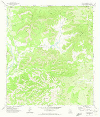
1971 · Lake Creek
USGS Topo · 1:24,000