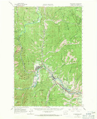
1964 Map of Leavenworth
USGS Topo · Published 1971About this map
Leavenworth and its surrounding mountain valleys are meticulously documented in this mid-century survey, showcasing the confluence of the Wenatchee River and Icicle Creek. The town is the central hub for the region's recreation and infrastructure, featuring the Leavenworth Winter Sports Area and the Leavenworth National Fish Hatchery. The Great Northern Railway snakes through the landscape, marked by mileposts such as Mile 40 and Mile 25, tracing a vital transportation corridor through the Wenatchee National Forest.
Find a feature on this map
85 named features on this map. Tap any name to fly to it.
Don’t see what you’re looking for? This feature index may not catch every label — zoom into the map to look around manually.
Map Details
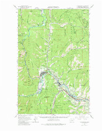
Editions of this 1964 Leavenworth Map
3 editions found

Other maps of this area

1897 · Mount Stuart
USGS Topo · 1:125,000

1901 · Chelan
USGS Topo · 1:125,000

1901 · Chiwaukum
USGS Topo · 1:125,000

1902 · Mount Stuart
USGS Topo · 1:125,000

1904 · Chiwaukum
USGS Topo · 1:125,000

1913 · Wenatchee
USGS Topo · 1:62,500

1915 · Wenatchee
USGS Topo · 1:62,500

1920 · Colockum Pass
USGS Topo · 1:125,000

1922 · Colockum Pass
USGS Topo · 1:125,000

1957 · Wenatchee
USGS Topo · 1:250,000