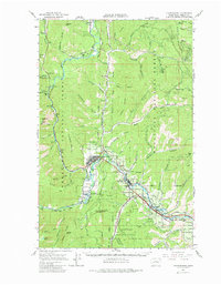
1964 Map of Leavenworth
USGS Topo · Published 1980About this map
The Wenatchee River valley serves as the central corridor for this mid-century survey, following the water as it cuts through the Wenatchee National Forest. The settlement of Leavenworth is shown during its transition toward becoming a regional recreational hub, featuring the Leavenworth Winter Sports Area and the Leavenworth National Fish Hatchery along the banks of Icicle Creek. Further downstream, the towns of Peshastin and Dryden sit along the river's bend, connected by the vital transportation artery of the Great Northern Railroad Grade.
Find a feature on this map
88 named features on this map. Tap any name to fly to it.
Don’t see what you’re looking for? This feature index may not catch every label — zoom into the map to look around manually.
Map Details
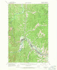
Editions of this 1964 Leavenworth Map
3 editions found

Other maps of this area

1897 · Mount Stuart
USGS Topo · 1:125,000

1901 · Chelan
USGS Topo · 1:125,000

1901 · Chiwaukum
USGS Topo · 1:125,000

1902 · Mount Stuart
USGS Topo · 1:125,000

1904 · Chiwaukum
USGS Topo · 1:125,000

1913 · Wenatchee
USGS Topo · 1:62,500

1915 · Wenatchee
USGS Topo · 1:62,500

1920 · Colockum Pass
USGS Topo · 1:125,000

1922 · Colockum Pass
USGS Topo · 1:125,000

1957 · Wenatchee
USGS Topo · 1:250,000