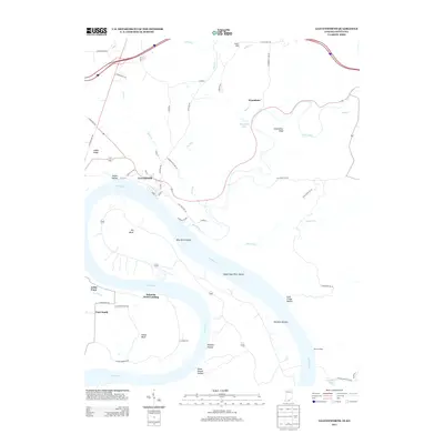
2013 Map of Leavenworth
USGS Topo · Published 2013About this map
The Ohio River meanders sharply through the landscape here, defining the border between Indiana and Kentucky near the community of Leavenworth. This 2013 survey reveals a river-oriented geography where the main channel bypasses Blue River Island and Upper Blue River Island, creating prominent landforms like Big Bend and Oxbow Bend. The interior terrain is marked by numerous drainage features such as Dry Run and Potato Run, which cut through the high ground of Indian Ridge and Greenbrier Knob.
Find a feature on this map
63 named features on this map. Tap any name to fly to it.
Don’t see what you’re looking for? This feature index may not catch every label — zoom into the map to look around manually.
Map Details
Editions of this 2013 Leavenworth Map
This is the sole edition of this map. No revisions or reprints were ever made.
Other maps of this area
1931 · Corydon
USGS Topo · 1:62,500
1944 · Corydon West
USGS Topo · 1:24,000
1946 · Leavenworth
USGS Topo · 1:24,000
1946 · Depauw
USGS Topo · 1:24,000
1947 · Leavenworth
USGS Topo · 1:24,000
1947 · Corydon West
USGS Topo · 1:24,000
1947 · Mauckport
USGS Topo · 1:24,000
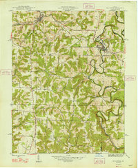
1948 · Milltown
USGS Topo · 1:24,000
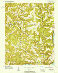
1950 · Beechwood
USGS Topo · 1:24,000
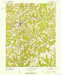
1950 · English
USGS Topo · 1:24,000