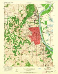
1951 Map of Leavenworth
USGS Topo · Published 1951About this map
The Missouri River forms the central artery of this mid-century landscape, carving a wide valley between the city of Leavenworth and the agricultural lands of Lee township in Missouri. This era shows a complex concentration of federal and local institutions, from the expansive Fort Leavenworth Military Reservation and Sherman Air Force Base to the Federal Penitentiary. The city’s urban grid, detailed with landmarks like the Municipal Building Post Office and County Court House, gives way to the ridges of Kickapoo and High Prairie. Notable cultural footprints include St Marys College and several small rural schools such as Hund School and Hazel Dell School, alongside historical burial grounds like the Society Sons of Truth Cemetery. Transportation networks are well-defined, showing the paths of the Chicago Great Western and other major rail lines serving the riverfront.
Find a feature on this map
67 named features on this map. Tap any name to fly to it.
Don’t see what you’re looking for? This feature index may not catch every label — zoom into the map to look around manually.
Map Details
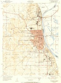
Editions of this 1951 Leavenworth Map
2 editions found
Other maps of this area

1886 · Oskaloosa
USGS Topo · 1:125,000

1888 · Oskaloosa
USGS Topo · 1:125,000

1890 · Kansas City
USGS Topo · 1:125,000

1894 · Kansas City
USGS Topo · 1:125,000

1894 · Oskaloosa
USGS Topo · 1:125,000

1910 · Leavenworth
USGS Topo · 1:62,500

1934 · Bonner Springs
USGS Topo · 1:48,000

1934 · Wolcott
USGS Topo · 1:24,000

1940 · Bonner Springs
USGS Topo · 1:62,500
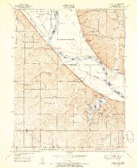
1948 · Wolcott
USGS Topo · 1:24,000