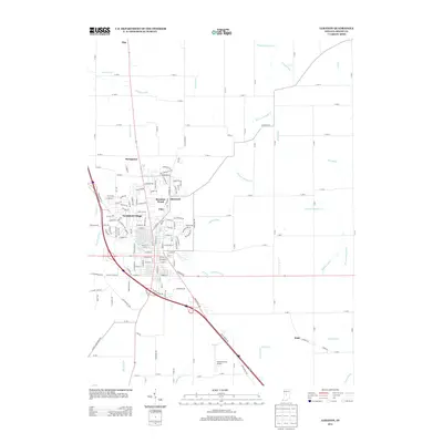
2013 Map of Lebanon
USGS Topo · Published 2013About this map
Northfield Village and the enclave of Ulen anchor the central portion of this 2013 survey, showing the residential expansion and suburban layout of the Boone County seat. The landscape is defined by a dense network of agricultural drainage systems, including the long reaches of Browns Wonder Cr, Prairie Cr, and Mann Ditch, which underscore the region's managed hydrology. To the north and east, smaller settlements like Stringtown, Elmwood, and Brendan Wood sit amidst a grid of rural routes such as Elizaville Rd and Elm Swamp Rd. The southern edge of the quadrangle is marked by the Boone County Airport and the outlying community of Dale, while the settlement of Pike occupies the northern periphery. This map documents a modern transition from historic small-town cores to contemporary road networks and aviation infrastructure.
Find a feature on this map
174 named features on this map. Tap any name to fly to it.
Don’t see what you’re looking for? This feature index may not catch every label — zoom into the map to look around manually.
Map Details
Editions of this 2013 Lebanon Map
This is the sole edition of this map. No revisions or reprints were ever made.
Other maps of this area

1953 · Fayette
USGS Topo · 1:24,000

1953 · Rosston
USGS Topo · 1:24,000

1953 · Lizton
USGS Topo · 1:24,000

1953 · Zionsville
USGS Topo · 1:24,000

1953 · Lebanon
USGS Topo · 1:24,000

1953 · Danville
USGS Topo · 1:250,000

1953 · Indianapolis
USGS Topo · 1:250,000

1955 · Danville
USGS Topo · 1:250,000

1956 · Danville
USGS Topo · 1:250,000

1956 · Indianapolis
USGS Topo · 1:250,000