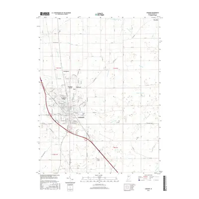
2016 Map of Lebanon
USGS Topo · Published 2016About this map
Lebanon sits as the central hub of this Boone County landscape, surrounded by a transition from established neighborhoods like Northfield Village and Ulen to the agricultural expanses of the Indiana countryside. The map reveals a complex drainage network essential to this prairie region, where numerous named channels such as Buntin Ditch, Browns Wonder Cr, and Powell Ditch dictate the flow of the land. These waterways, alongside others like Isenhour Ditch and Hoskins Ditch, illustrate the historical effort to manage the local water table for farming and development.
Find a feature on this map
89 named features on this map. Tap any name to fly to it.
Don’t see what you’re looking for? This feature index may not catch every label — zoom into the map to look around manually.
Map Details
Editions of this 2016 Lebanon Map
This is the sole edition of this map. No revisions or reprints were ever made.
Other maps of this area

1953 · Fayette
USGS Topo · 1:24,000

1953 · Rosston
USGS Topo · 1:24,000

1953 · Lizton
USGS Topo · 1:24,000

1953 · Zionsville
USGS Topo · 1:24,000

1953 · Lebanon
USGS Topo · 1:24,000

1953 · Danville
USGS Topo · 1:250,000

1953 · Indianapolis
USGS Topo · 1:250,000

1955 · Danville
USGS Topo · 1:250,000

1956 · Danville
USGS Topo · 1:250,000

1956 · Indianapolis
USGS Topo · 1:250,000