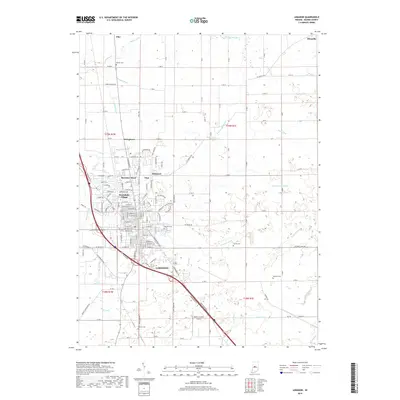
2019 Map of Lebanon
USGS Topo · Published 2019About this map
The city of Lebanon serves as the central hub for this portion of central Indiana, showing a landscape defined by organized agricultural plots and an extensive network of drainage infrastructure. The presence of numerous named waterways, such as Browns Wonder Cr and Prairie Cr, alongside man-made channels like Buntin Ditch and Isenhour Ditch, reflects the critical role of water management in sustaining the region's productive farmland.
Find a feature on this map
62 named features on this map. Tap any name to fly to it.
Don’t see what you’re looking for? This feature index may not catch every label — zoom into the map to look around manually.
Map Details
Editions of this 2019 Lebanon Map
This is the sole edition of this map. No revisions or reprints were ever made.
Other maps of this area

1953 · Fayette
USGS Topo · 1:24,000

1953 · Rosston
USGS Topo · 1:24,000

1953 · Lizton
USGS Topo · 1:24,000

1953 · Zionsville
USGS Topo · 1:24,000

1953 · Lebanon
USGS Topo · 1:24,000

1953 · Danville
USGS Topo · 1:250,000

1953 · Indianapolis
USGS Topo · 1:250,000

1955 · Danville
USGS Topo · 1:250,000

1956 · Danville
USGS Topo · 1:250,000

1956 · Indianapolis
USGS Topo · 1:250,000