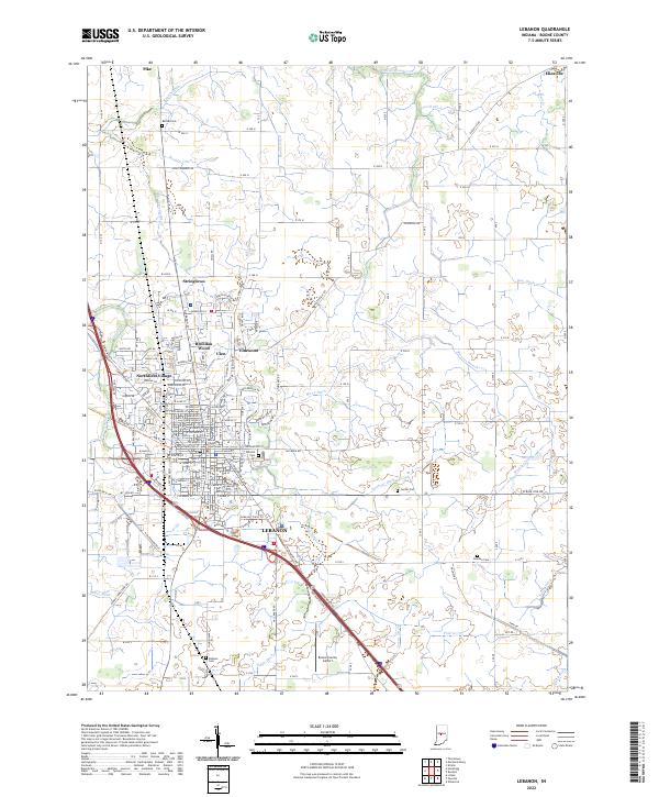
2022 Map of Lebanon
USGS Topo · Published 2022About this map
The Boone County Courthouse serves as the central landmark for Lebanon, anchoring a landscape where historic residential enclaves like Ulen, Elmwood, and Brendan Wood meet the surrounding agricultural plains of central Indiana. The grid of the city gives way to an intricate network of drainage systems, including Browns Wonder Cr, Isenhour Ditch, and Buntin Ditch, which have historically managed the water table for the area's fertile farmland.
Find a feature on this map
52 named features on this map. Tap any name to fly to it.
Don’t see what you’re looking for? This feature index may not catch every label — zoom into the map to look around manually.
Map Details
Editions of this 2022 Lebanon Map
This is the sole edition of this map. No revisions or reprints were ever made.
Other maps of this area

1953 · Fayette
USGS Topo · 1:24,000

1953 · Rosston
USGS Topo · 1:24,000

1953 · Lizton
USGS Topo · 1:24,000

1953 · Zionsville
USGS Topo · 1:24,000

1953 · Lebanon
USGS Topo · 1:24,000

1953 · Danville
USGS Topo · 1:250,000

1953 · Indianapolis
USGS Topo · 1:250,000

1955 · Danville
USGS Topo · 1:250,000

1956 · Danville
USGS Topo · 1:250,000

1956 · Indianapolis
USGS Topo · 1:250,000