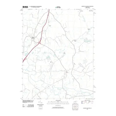
2010 Map of Lebanon Junction
USGS Topo · Published 2010About this map
Lebanon Junction and the small community of Boston serve as the primary anchors in this Bullitt County landscape, where the convergence of several major waterways dictated the early settlement patterns. The topography is defined by the winding course of the Rolling Fork and Beech Fork rivers, which flow through the southern half of the region. Local genealogy is well-represented by rural burial grounds such as the Mount Moriah Cemetery and Little Brick Cemetery, alongside family-named landmarks like Keith Knob. The map traces a network of farm-to-market roads, including Old Boston Rd and Strebel Farm Rd, that connect isolated hollows like Crutchmer Hollow and Scuffletown Hollow to the larger rail and highway corridors. Recreational sites like Crescendo Camp and Hurricane Hills Lake highlight the mid-century development of the area's natural water resources for local use.
Find a feature on this map
53 named features on this map. Tap any name to fly to it.
Don’t see what you’re looking for? This feature index may not catch every label — zoom into the map to look around manually.
Map Details
Editions of this 2010 Lebanon Junction Map
This is the sole edition of this map. No revisions or reprints were ever made.
Other maps of this area

1935 · Elizabethtown
USGS Topo · 1:48,000

1936 · Vine Grove
USGS Topo · 1:62,500

1938 · Elizabethtown
USGS Topo · 1:62,500

1943 · Vine Grove
USGS Topo · 1:62,500

1946 · Pitts Point
USGS Topo · 1:24,000

1946 · Colesburg
USGS Topo · 1:24,000

1946 · Vine Grove
USGS Topo · 1:62,500

1949 · Cravens
USGS Topo · 1:24,000

1949 · Elizabethtown
USGS Topo · 1:24,000

1949 · Shepherdsville
USGS Topo · 1:24,000