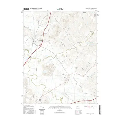
2016 Map of Lebanon Junction
USGS Topo · Published 2016About this map
Lebanon Junction serves as the primary hub in this corridor of Bullitt and Nelson counties, where the rail lines at Railroad Ave once shaped local commerce and movement. The landscape is defined by the convergence of the Beech Fork and Rolling Fork rivers, creating a low-lying basin bordered by sharp topography like Keith Knob. To the east, the settlement of Boston sits at a crossroads, while the small hamlet of Younger Creek anchors the southern boundary near the river fork.
Find a feature on this map
78 named features on this map. Tap any name to fly to it.
Don’t see what you’re looking for? This feature index may not catch every label — zoom into the map to look around manually.
Map Details
Editions of this 2016 Lebanon Junction Map
This is the sole edition of this map. No revisions or reprints were ever made.
Other maps of this area

1935 · Elizabethtown
USGS Topo · 1:48,000

1936 · Vine Grove
USGS Topo · 1:62,500

1938 · Elizabethtown
USGS Topo · 1:62,500

1943 · Vine Grove
USGS Topo · 1:62,500

1946 · Pitts Point
USGS Topo · 1:24,000

1946 · Colesburg
USGS Topo · 1:24,000

1946 · Vine Grove
USGS Topo · 1:62,500

1949 · Cravens
USGS Topo · 1:24,000

1949 · Elizabethtown
USGS Topo · 1:24,000

1949 · Shepherdsville
USGS Topo · 1:24,000