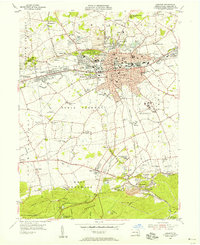
1955 Map of Lebanon
USGS Topo · Published 1956About this map
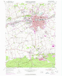
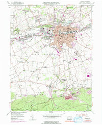
The industrial and institutional landscape of central Pennsylvania is captured here during the mid-1950s, centered on the city of Lebanon. The map documents the persistent influence of the region's early iron industry, anchored by the Cornwall Furnace and nearby industrial settlements like Miners Village and Burd Coleman Village. A massive U S Veterans Hospital complex occupies a significant tract south of the city, while the route of the Union Canal (Abnd) remains visible north of town near Avon Heights.
Find a feature on this map
84 named features on this map. Tap any name to fly to it.
Don’t see what you’re looking for? This feature index may not catch every label — zoom into the map to look around manually.
Map Details
Editions of this 1955 Lebanon Map
6 editions found
Other maps of this area

1891 · Lebanon
USGS Topo · 1:62,500

1892 · Hummelstown
USGS Topo · 1:62,500

1893 · Lebanon
USGS Topo · 1:62,500

1899 · Lebanon
USGS Topo · 1:62,500

1902 · Lancaster
USGS Topo · 1:62,500

1904 · Lancaster
USGS Topo · 1:62,500

1908 · Middletown
USGS Topo · 1:62,500

1924 · Hummelstown
USGS Topo · 1:62,500

1943 · Lancaster
USGS Topo · 1:62,500

1943 · Lebanon
USGS Topo · 1:62,500