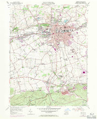
1955 Map of Lebanon
USGS Topo · Published 1971About this map
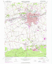
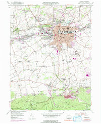
The industrial and agricultural heritage of Lebanon County is clearly visible in this mid-century survey, which documents the extensive mining and ironworking landscape of Cornwall. The southern portion of the map is dominated by the Cornwall Furnace and associated industrial housing at Burd Coleman Village and Miners Village, situated at the edge of the Furnace Hills. To the north, the city of Lebanon serves as a hub for the Reading and Penn Central railroads, with its urban growth expanding toward Avon and Westmont.
Find a feature on this map
86 named features on this map. Tap any name to fly to it.
Don’t see what you’re looking for? This feature index may not catch every label — zoom into the map to look around manually.
Map Details
Editions of this 1955 Lebanon Map
6 editions found
Other maps of this area

1891 · Lebanon
USGS Topo · 1:62,500

1892 · Hummelstown
USGS Topo · 1:62,500

1893 · Lebanon
USGS Topo · 1:62,500

1899 · Lebanon
USGS Topo · 1:62,500

1902 · Lancaster
USGS Topo · 1:62,500

1904 · Lancaster
USGS Topo · 1:62,500

1908 · Middletown
USGS Topo · 1:62,500

1924 · Hummelstown
USGS Topo · 1:62,500

1943 · Lancaster
USGS Topo · 1:62,500

1943 · Lebanon
USGS Topo · 1:62,500