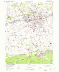
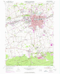
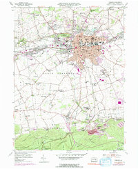
1955 Map of Lebanon
USGS Topo · Published 1976About this map
Lebanon serves as the industrial and civic anchor of this mid-century survey, with its grid extending toward satellite communities like Reinoehlville and Avon. The landscape is deeply influenced by the local iron industry, anchored by the Cornwall Furnace and surrounded by worker-centric residential clusters such as Miners Village, Burd Coleman Village, and Anthracite. This pattern of settlement reflects the legacy of the regional mining economy, where housing and industry were inextricably linked by the rails of the Reading and Penn Central systems.
Find a feature on this map
83 named features on this map. Tap any name to fly to it.
Don’t see what you’re looking for? This feature index may not catch every label — zoom into the map to look around manually.
Map Details
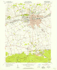
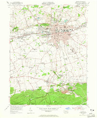
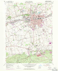
Editions of this 1955 Lebanon Map
6 editions found
Other maps of this area

1891 · Lebanon
USGS Topo · 1:62,500

1892 · Hummelstown
USGS Topo · 1:62,500

1893 · Lebanon
USGS Topo · 1:62,500

1899 · Lebanon
USGS Topo · 1:62,500

1902 · Lancaster
USGS Topo · 1:62,500

1904 · Lancaster
USGS Topo · 1:62,500

1908 · Middletown
USGS Topo · 1:62,500

1924 · Hummelstown
USGS Topo · 1:62,500

1943 · Lancaster
USGS Topo · 1:62,500

1943 · Lebanon
USGS Topo · 1:62,500