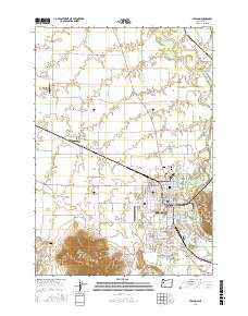
2017 Map of Lebanon
USGS Topo · Published 2017About this map
The South Santiam River defines the eastern boundary of this mid-valley landscape, with its East Channel creating a complex waterway system near the town center. The industrial and agricultural heritage of the region is evident in the path of the Albany Santiam Canal and the Lebanon Santiam Canal, which cut through the terrain to support local needs. To the south, the prominent elevations of Peterson Butte and Ridgeway Butte rise above the flatlands, providing clear landmarks for the surrounding communities of Crowfoot and South Lebanon. Local aviation history is well-represented by several facilities, including the Lebanon State Airport, the Tallman Airport, and the Miller Airstrip. Genealogists will find significant value in the concentration of burial sites such as the Independent Order of Odd Fellows Cemetery, Masonic Cemetery, and the historic Pioneer Cemetery, which reflect the social and fraternal organizations central to the area's development.
Find a feature on this map
120 named features on this map. Tap any name to fly to it.
Don’t see what you’re looking for? This feature index may not catch every label — zoom into the map to look around manually.
Map Details
Editions of this 2017 Lebanon Map
This is the sole edition of this map. No revisions or reprints were ever made.
Other maps of this area

1911 · Brownsville
USGS Topo · 1:31,680

1911 · Lebanon
USGS Topo · 1:31,680

1911 · Tangent
USGS Topo · 1:31,680

1912 · Jefferson
USGS Topo · 1:31,680

1912 · Halsey
USGS Topo · 1:62,500

1916 · Albany
USGS Topo · 1:62,500

1921 · Brownsville
USGS Topo · 1:62,500

1921 · Lebanon
USGS Topo · 1:62,500

1922 · Lebanon
USGS Topo · 1:48,000

1924 · Lebanon
USGS Topo · 1:62,500