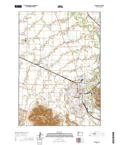
2020 Map of Lebanon
USGS Topo · Published 2020About this map
Lebanon sits at the heart of a complex hydrologic network where the South Santiam River branches into the East Channel South Santiam River and multiple man-made waterways. The city's development is closely tied to these resources, evidenced by the Lebanon Santiam Canal and the Albany Santiam Canal, which cut through the landscape to support local industry and agriculture. To the south, the topography rises sharply at Peterson Butte and Ridgeway Butte, providing a vertical contrast to the flat valley floor. This area is also notable for its density of burial grounds, including the Independent Order of Odd Fellows Cem, Masonic Cem, and the historic Pioneer Cem. Small aviation hubs like Tallman Airport and the Lebanon State Airport underscore the region's role as a local transit center for Linn County, while surrounding areas like Crowfoot and South Lebanon show the continued expansion of the settlement pattern.
Find a feature on this map
78 named features on this map. Tap any name to fly to it.
Don’t see what you’re looking for? This feature index may not catch every label — zoom into the map to look around manually.
Map Details
Editions of this 2020 Lebanon Map
This is the sole edition of this map. No revisions or reprints were ever made.
Other maps of this area
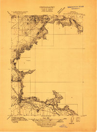
1911 · Brownsville
USGS Topo · 1:31,680
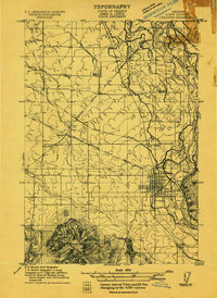
1911 · Lebanon
USGS Topo · 1:31,680
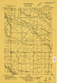
1911 · Tangent
USGS Topo · 1:31,680
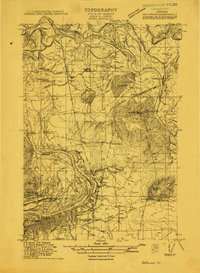
1912 · Jefferson
USGS Topo · 1:31,680
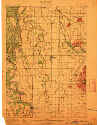
1912 · Halsey
USGS Topo · 1:62,500
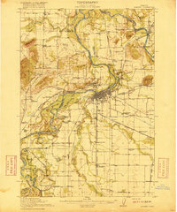
1916 · Albany
USGS Topo · 1:62,500
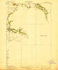
1921 · Brownsville
USGS Topo · 1:62,500
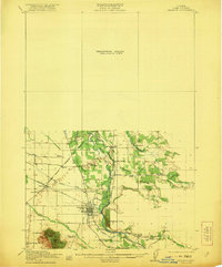
1921 · Lebanon
USGS Topo · 1:62,500
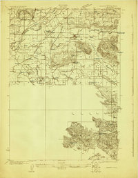
1922 · Lebanon
USGS Topo · 1:48,000
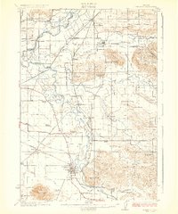
1924 · Lebanon
USGS Topo · 1:62,500