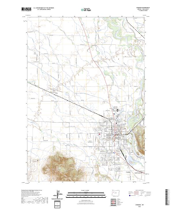
2024 Map of Lebanon
USGS Topo · Published 2024About this map
The South Santiam River flows along the eastern edge of Lebanon, anchoring a landscape shaped by water and transport. This modern survey illustrates the complex hydraulic network surrounding the city, including the Albany Santiam Canal, Lebanon Santiam Canal, and the winding Marks Slough. The geography is defined by prominent elevations like Peterson Butte to the southwest and Ridgeway Butte to the east, which overlook the valley's mix of residential development and agricultural plots.
Find a feature on this map
133 named features on this map. Tap any name to fly to it.
Don’t see what you’re looking for? This feature index may not catch every label — zoom into the map to look around manually.
Map Details
Editions of this 2024 Lebanon Map
This is the sole edition of this map. No revisions or reprints were ever made.
Other maps of this area

1911 · Brownsville
USGS Topo · 1:31,680

1911 · Lebanon
USGS Topo · 1:31,680

1911 · Tangent
USGS Topo · 1:31,680

1912 · Jefferson
USGS Topo · 1:31,680

1912 · Halsey
USGS Topo · 1:62,500

1916 · Albany
USGS Topo · 1:62,500

1921 · Brownsville
USGS Topo · 1:62,500

1921 · Lebanon
USGS Topo · 1:62,500

1922 · Lebanon
USGS Topo · 1:48,000

1924 · Lebanon
USGS Topo · 1:62,500