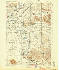
1924 Map of Lebanon
USGS Topo · Published 1943About this map
McKinney Bottom and the winding course of the Santiam River define the agricultural landscape of this Willamette Valley region during the early twentieth century. The map captures the complex drainage systems of Thomas Creek and Crabtree Creek, where numerous bridges like Greens Bridge and Claypool Bridge provided essential crossings for local commerce. Industrial activity is evidenced by Ballins Mill and a Quarry near Miller Butte, while the Southern Pacific railroad network, including an abandoned line near Shelburn, illustrates the evolving transportation needs of the era.
Find a feature on this map
68 named features on this map. Tap any name to fly to it.
Don’t see what you’re looking for? This feature index may not catch every label — zoom into the map to look around manually.
Map Details
Editions of this 1924 Lebanon Map
3 editions found

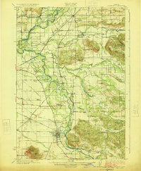
Other maps of this area

1911 · Brownsville
USGS Topo · 1:31,680

1911 · Lebanon
USGS Topo · 1:31,680

1911 · Tangent
USGS Topo · 1:31,680

1912 · Jefferson
USGS Topo · 1:31,680

1912 · Halsey
USGS Topo · 1:62,500

1915 · Sidney
USGS Topo · 1:31,680

1916 · Albany
USGS Topo · 1:62,500

1917 · Salem
USGS Topo · 1:62,500

1921 · Brownsville
USGS Topo · 1:62,500

1921 · Lebanon
USGS Topo · 1:62,500