
1924 Map of Lebanon
USGS Topo · Published 1924About this map
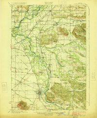
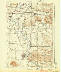
The Santiam River and its southern fork dominate this 1920s landscape, where a dense network of country schools and river crossings defines rural life in Linn County. Small railroad settlements like Shelburn, West Scio, and Spicer follow the tracks of the Southern Pacific Railroad, which served as the primary artery for moving agricultural goods. The map reveals an intricate drainage system including the Albany Ditch and Peters Ditch, supporting the valley's development.
Find a feature on this map
74 named features on this map. Tap any name to fly to it.
Don’t see what you’re looking for? This feature index may not catch every label — zoom into the map to look around manually.
Map Details
Editions of this 1924 Lebanon Map
3 editions found
Other maps of this area

1911 · Brownsville
USGS Topo · 1:31,680

1911 · Lebanon
USGS Topo · 1:31,680

1911 · Tangent
USGS Topo · 1:31,680

1912 · Jefferson
USGS Topo · 1:31,680

1912 · Halsey
USGS Topo · 1:62,500

1915 · Sidney
USGS Topo · 1:31,680

1916 · Albany
USGS Topo · 1:62,500

1917 · Salem
USGS Topo · 1:62,500

1921 · Brownsville
USGS Topo · 1:62,500

1921 · Lebanon
USGS Topo · 1:62,500