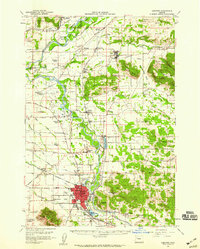
1957 Map of Lebanon
USGS Topo · Published 1959About this map
Lebanon serves as the industrial and population anchor of this mid-century Linn County landscape, situated where the South Santiam River flows past Ridgeway Butte. The map illustrates a well-developed agricultural and transportation network defined by the Southern Pacific Railroad and a series of rural crossings including Greens Bridge and several Covered Bridges. The intersection of rail and river is particularly evident near Scio and Shelburn, where the flat valley floor meets the rising timbered slopes of Hungry Hill and Rogers Mtn.
Find a feature on this map
86 named features on this map. Tap any name to fly to it.
Don’t see what you’re looking for? This feature index may not catch every label — zoom into the map to look around manually.
Map Details
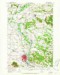
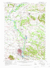
Editions of this 1957 Lebanon Map
3 editions found
Other maps of this area

1911 · Brownsville
USGS Topo · 1:31,680

1911 · Lebanon
USGS Topo · 1:31,680

1911 · Tangent
USGS Topo · 1:31,680

1912 · Jefferson
USGS Topo · 1:31,680

1912 · Halsey
USGS Topo · 1:62,500

1915 · Sidney
USGS Topo · 1:31,680

1916 · Albany
USGS Topo · 1:62,500

1917 · Salem
USGS Topo · 1:62,500

1921 · Brownsville
USGS Topo · 1:62,500

1921 · Lebanon
USGS Topo · 1:62,500