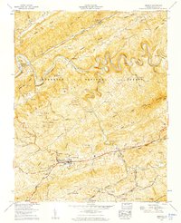
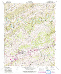
1958 Map of Lebanon
USGS Topo · Published 1960About this map
The town of Lebanon serves as a central hub in this Virginia highlands landscape, situated south of the deeply winding Clinch River. This 1958 field-examined survey reveals a region defined by complex ridge-and-valley topography, where the Norfolk and Western railroad tracks follow the northern drainage of Combs Valley. Small settlements such as Finney and Slabtown are interspersed with an extensive network of family cemeteries, including the Musick, Fletcher, and Jessee burial grounds, providing significant data for genealogical research.
Find a feature on this map
86 named features on this map. Tap any name to fly to it.
Don’t see what you’re looking for? This feature index may not catch every label — zoom into the map to look around manually.
Map Details
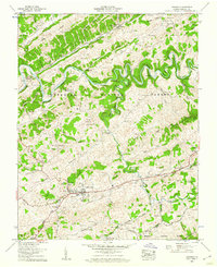
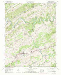
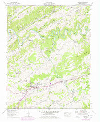
Editions of this 1958 Lebanon Map
5 editions found
Other maps of this area

1886 · Grundy
USGS Topo · 1:125,000

1890 · Grundy
USGS Topo · 1:125,000

1891 · Tazewell
USGS Topo · 1:125,000

1891 · Abingdon
USGS Topo · 1:125,000

1892 · Grundy
USGS Topo · 1:125,000

1894 · Abingdon
USGS Topo · 1:125,000

1895 · Tazewell
USGS Topo · 1:125,000

1897 · Tazewell
USGS Topo · 1:125,000

1897 · Bristol
USGS Topo · 1:125,000

1902 · Bristol
USGS Topo · 1:125,000