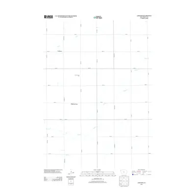
2013 Map of Lebanon
USGS Topo · Published 2013About this map
Lebanon and Highland Park anchor this Sioux County landscape, which is defined by a strictly organized section-line road grid and an active agricultural economy. This 2013 survey illustrates the modern rural infrastructure of northwest Iowa, where named operations like the Van Voorst Dairy Farm represent the continued importance of large-scale dairy and livestock farming. The terrain is drained by several meandering watercourses that break the rigid geometry of the grid, including Sixmile Cr, Dry Cr, and Spring Cr. These creek beds provide the only significant variation in a landscape otherwise dominated by the intersections of named thoroughfares like Dogwood Ave and 400th St, reflecting the persistent land-use patterns that have shaped the region since the late 19th century.
Find a feature on this map
21 named features on this map. Tap any name to fly to it.
Don’t see what you’re looking for? This feature index may not catch every label — zoom into the map to look around manually.
Map Details
Editions of this 2013 Lebanon Map
This is the sole edition of this map. No revisions or reprints were ever made.
Other maps of this area

1955 · Sioux City
USGS Topo · 1:250,000

1955 · Sioux Falls
USGS Topo · 1:250,000

1958 · Sioux City
USGS Topo · 1:250,000

1958 · Sioux Falls
USGS Topo · 1:250,000

1959 · Sioux City
USGS Topo · 1:250,000

1962 · Le Mars
USGS Topo · 1:62,500

1964 · Sioux Center
USGS Topo · 1:24,000

1964 · Hull
USGS Topo · 1:24,000
1968 · Hawarden North
USGS Topo · 1:24,000

1968 · Fairview
USGS Topo · 1:24,000