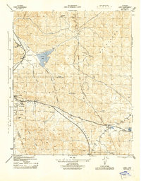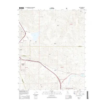
1958 Map of Lebec
USGS Topo · Published 1975About this map
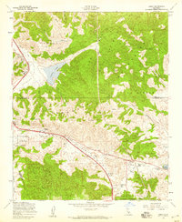
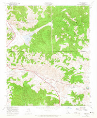
The Tehachapi Mountains and the Agua Caliente Mountains converge in this high-altitude mountain pass, where the San Andreas Valley cuts a distinct geological path across the landscape. The settlement of Lebec sits near the northern boundary, while Gorman and the Gorman School mark the southern pass, serving as critical transit points along the historic Ridge Route. This 1958 survey, with later revisions, documents a landscape shaped by transportation and water infrastructure, featuring the California Aqueduct Canal cutting toward Quail Lake. Technological landmarks of the mid-century era are prominent, including a Vortac Radio Navigation Sta, a Microwave Relay Sta, and an Airway Beacon, illustrating the area's importance for regional communication and air travel. Large protected areas, including parts of the Los Padres National Forest and Angeles National Forest, flank the developed corridors.
Find a feature on this map
33 named features on this map. Tap any name to fly to it.
Don’t see what you’re looking for? This feature index may not catch every label — zoom into the map to look around manually.
Map Details
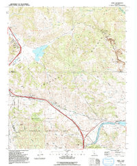
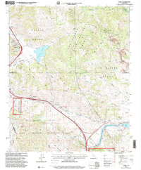
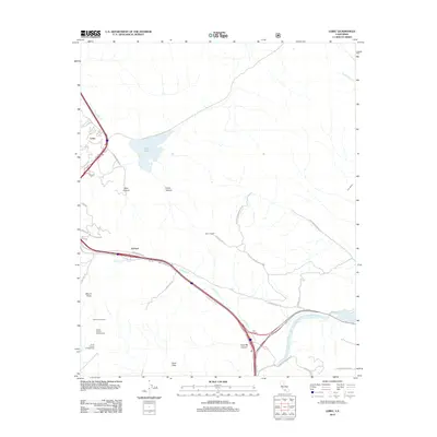
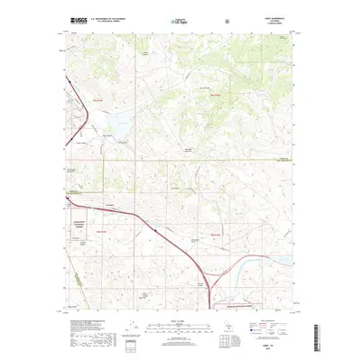
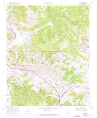
Editions of this 1958 Lebec Map
3 editions found
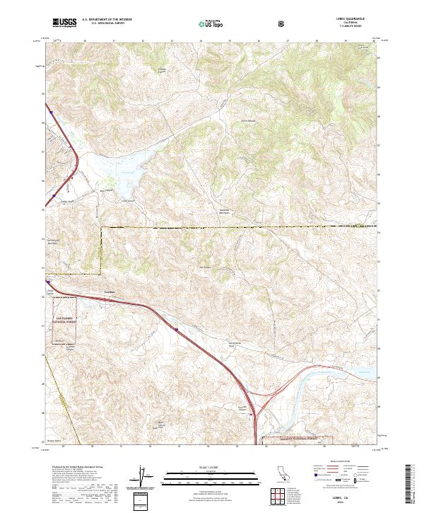
Historical Maps of Gorman Through Time
8 maps found