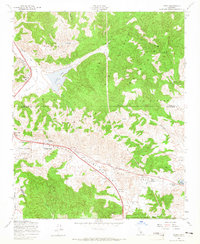
1958 Map of Lebec
USGS Topo · Published 1965About this map
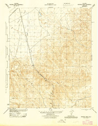
Tejon Pass serves as the primary mountain gateway in this 1958 survey, where the Golden State Highway and the winding Ridge Route navigate the transition between the Tehachapi Mountains and the San Andreas Rift Valley. The settlement at Lebec sits near the northern edge of the sheet, while further south, the community of Gorman and its Gorman School provide a focal point for the mountain crossing.
Find a feature on this map
28 named features on this map. Tap any name to fly to it.
Don’t see what you’re looking for? This feature index may not catch every label — zoom into the map to look around manually.
Map Details
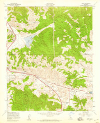
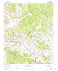
Editions of this 1958 Lebec Map
3 editions found
Other maps of this area

1903 · Tejon
USGS Topo · 1:125,000

1933 · Quail
USGS Topo · 1:24,000

1933 · Gorman
USGS Topo · 1:24,000

1938 · Gorman
USGS Topo · 1:24,000

1938 · Quail
USGS Topo · 1:24,000

1942 · Tecuya Creek
USGS Topo · 1:24,000

1942 · Frazier Mountain
USGS Topo · 1:24,000

1943 · Neenach
USGS Topo · 1:62,500
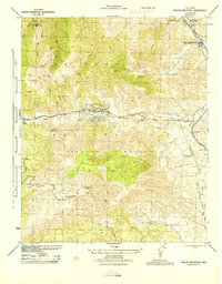
1944 · Frazier Mountain
USGS Topo · 1:31,680
1945 · Pastoria Creek
USGS Topo · 1:31,680