Loading...
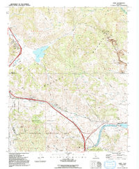
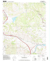
Loading map...1991 Map of Lebec
USGS Topo · Published 1992About this map
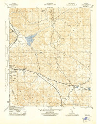
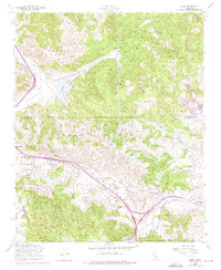
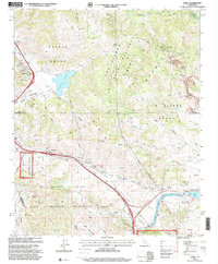
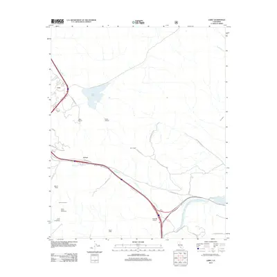
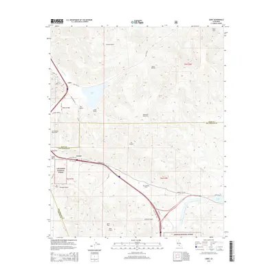
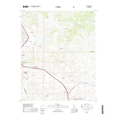
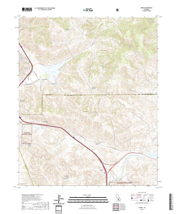
The Tehachapi Mountains and the San Andreas Rift Zone dominate this high-altitude landscape where the Central Valley meets the mountains of Southern California. Centered on the historic mountain pass corridor, the map details the infrastructure of the late 20th century, including the Edmund G Brown California Aqueduct and the Golden State Highway. The settlement of Lebec and the neighboring community of Gorman serve as the primary hubs along the mountain grade.
Find a feature on this map
28 named features on this map. Tap any name to fly to it.
Don’t see what you’re looking for? This feature index may not catch every label — zoom into the map to look around manually.
Map Details
Date Portrayed1991
Date Published1992
PublisherU.S. Geological Survey
Map TypeTopographic
Scale1:24,000
Physical Dimensions22 x 26.6 inches
Editions of this 1991 Lebec Map
2 editions found
Historical Maps of Gorman Through Time
8 maps found
Featured Locations
Source Details
SourceU.S. Geological Survey
CopyrightPublic Domain