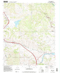
1991 Map of Lebec
USGS Topo · Published 1992About this map
Lebec and Gorman anchor this high-mountain pass landscape where the Kern, Los Angeles, and Ventura county lines converge. The terrain is dominated by the San Andreas Rift Zone, a massive geological feature that dictates the course of Peace Valley Creek and the alignment of the regional infrastructure. This 1991 survey shows a complex intersection of natural topography and engineering, most notably where the California Aqueduct flows toward Quail Lake. The map reveals the area's transition into a recreation and resource hub, featuring the Hungry Valley State Vehicular Recreation Area and several Open Pit Mines scattered across the La Liebre mountains. From the waters of Castac Lake to the industrial presence of the Gorman Substation, the map documents a vital transit corridor at the northern edge of the Angeles National Forest.
Find a feature on this map
36 named features on this map. Tap any name to fly to it.
Don’t see what you’re looking for? This feature index may not catch every label — zoom into the map to look around manually.
Map Details
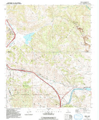
Editions of this 1991 Lebec Map
2 editions found
Other maps of this area

1903 · Tejon
USGS Topo · 1:125,000

1933 · Quail
USGS Topo · 1:24,000

1933 · Gorman
USGS Topo · 1:24,000

1938 · Gorman
USGS Topo · 1:24,000

1938 · Quail
USGS Topo · 1:24,000

1942 · Tecuya Creek
USGS Topo · 1:24,000

1942 · Frazier Mountain
USGS Topo · 1:24,000

1943 · Neenach
USGS Topo · 1:62,500
1944 · Frazier Mountain
USGS Topo · 1:31,680
1945 · Pastoria Creek
USGS Topo · 1:31,680