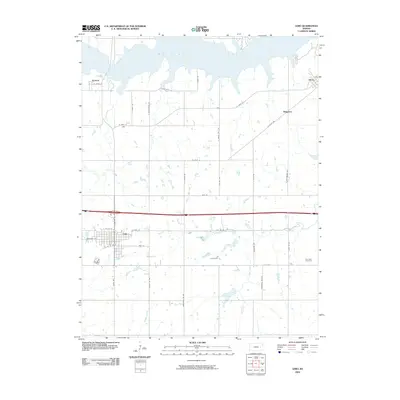
2009 Map of Lebo
USGS Topo · Published 2009About this map
Melvern Lake dominates the northern landscape of this Coffey County region, where the reservoir's irregular shoreline meets a grid of agricultural section roads. The city of Lebo serves as the local hub, showing a developed street plan including Broadway St and W Sac & Fox St. The surrounding countryside is dotted with small settlements such as Arvonia, Olivet, and Ridgeton, which reflect the area's rural settlement patterns.
Find a feature on this map
38 named features on this map. Tap any name to fly to it.
Don’t see what you’re looking for? This feature index may not catch every label — zoom into the map to look around manually.
Map Details
Editions of this 2009 Lebo Map
This is the sole edition of this map. No revisions or reprints were ever made.
Other maps of this area

1885 · Burlington
USGS Topo · 1:125,000

1889 · Burlingame
USGS Topo · 1:125,000

1894 · Burlingame
USGS Topo · 1:125,000

1894 · Burlington
USGS Topo · 1:125,000

1947 · Lawrence
USGS Topo · 1:250,000

1950 · Lawrence
USGS Topo · 1:250,000

1956 · Lawrence
USGS Topo · 1:250,000

1957 · Lebo
USGS Topo · 1:24,000

1957 · Waverly NW
USGS Topo · 1:24,000
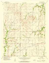
1957 · Lebo NW
USGS Topo · 1:24,000