
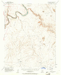
1954 Map of Leche-E Rock
USGS Topo · Published 1956About this map
Colorado River currents carve through the deep canyons of northern Arizona in this mid-century survey, just years before the landscape was radically altered by massive regional water projects. The map focuses on the high desert plateaus south of the Glen Canyon National Recreation Area, dominated by the sprawling Navajo Indian Reservation. This is a territory of massive sandstone monoliths and eroded mesas, where prominent landmarks like Leche-e Rock, Tower Butte, and Sentinel Rock rise sharply from the surrounding basins. A network of Jeep Trails provides the only access across the complex topography, connecting remote points like White Dome Tank and Alkali Tank. The detailed contouring illustrates the serpentine drainage patterns of Navajo Creek and Wahweap Creek, reflecting the traditional reliance on scattered water sources across the Rainbow Plateau.
Find a feature on this map
33 named features on this map. Tap any name to fly to it.
Don’t see what you’re looking for? This feature index may not catch every label — zoom into the map to look around manually.
Map Details
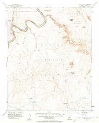
Editions of this 1954 Leche-E Rock Map
3 editions found
Other maps of this area

1886 · Escalante
USGS Topo · 1:250,000

1886 · Echo Cliffs
USGS Topo · 1:250,000

1891 · Echo Cliffs
USGS Topo · 1:250,000

1922 · Warm Creek
USGS Topo · 1:63,360

1951 · Lees Ferry NE
USGS Topo · 1:24,000

1953 · Cummings Mesa
USGS Topo · 1:62,500

1953 · Nipple Butte
USGS Topo · 1:62,500

1953 · Gunsight Butte
USGS Topo · 1:62,500

1954 · Lees Ferry SE
USGS Topo · 1:24,000

1954 · Tanner Wash
USGS Topo · 1:62,500