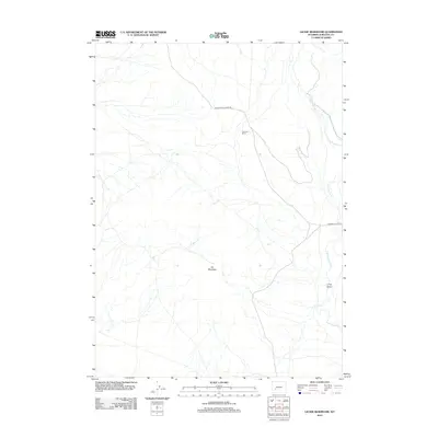
2012 Map of Leckie Reservoir
USGS Topo · Published 2012About this map
Arambel Ranch serves as a lone human landmark in this high-desert landscape of Sublette County, where the terrain is defined by drainages and subtle topographic shifts. The map tracks the winding course of Little Sandy Cr through the eastern corridor, while the prominent bulk of Elk Mountain dominates the central portion of the quadrangle. Transportation through this open range is facilitated by thoroughfares like Big Sandy Elkhorn Rd and the Elkhorn Cutoff Rd, which follow the natural contours of the land. This survey illustrates the relationship between large-scale ranching operations and the natural landmarks, such as Long Draw, that have guided travelers through the Wyoming basin for generations.
Find a feature on this map
6 named features on this map. Tap any name to fly to it.
Don’t see what you’re looking for? This feature index may not catch every label — zoom into the map to look around manually.
Map Details
Editions of this 2012 Leckie Reservoir Map
This is the sole edition of this map. No revisions or reprints were ever made.
Other maps of this area

1955 · Lander
USGS Topo · 1:250,000

1958 · Lander
USGS Topo · 1:250,000

1958 · Parting of the Ways
USGS Topo · 1:62,500

1958 · Parting of the Ways
USGS Topo · 1:24,000

1961 · Lander
USGS Topo · 1:250,000

1969 · Leckie Reservoir
USGS Topo · 1:24,000

1969 · Leckie SW
USGS Topo · 1:24,000

1969 · Jensen Meadows
USGS Topo · 1:24,000

1969 · Tabernacle Butte
USGS Topo · 1:24,000
1969 · Big Sandy Reservoir SE
USGS Topo · 1:24,000