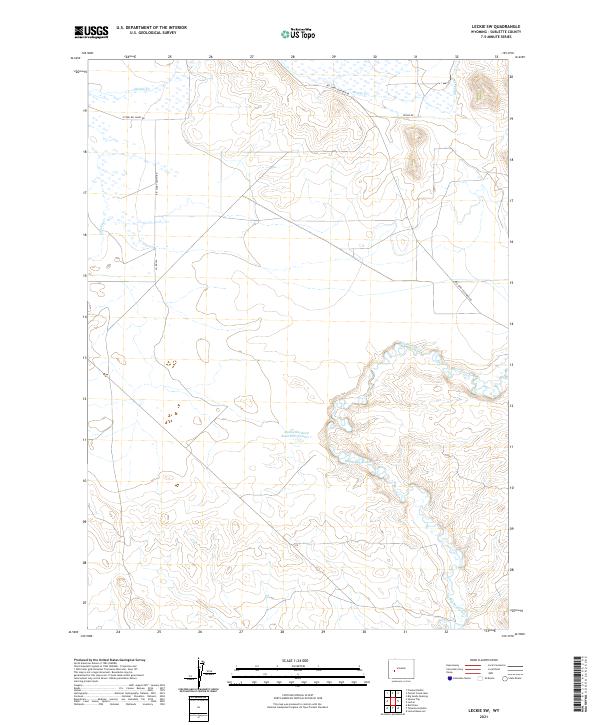
2021 Map of Leckie SW
USGS Topo · Published 2021About this map
The Big Sandy River defines the southeastern landscape of this high-desert portion of Sublette County, twisting through an arid terrain marked by cattle-country infrastructure. The riparian corridor contrasts sharply with the surrounding sagebrush steppe, supporting the Sandy Big Bend Reservoir Number 1 and various ephemeral drainage systems like Muddy Cr and S Muddy Cr. Historically, this area represents the transition between the wind-swept plains and the foothills of the larger Wyoming ranges, where water management is critical to land use.
Find a feature on this map
15 named features on this map. Tap any name to fly to it.
Don’t see what you’re looking for? This feature index may not catch every label — zoom into the map to look around manually.
Map Details
Editions of this 2021 Leckie SW Map
This is the sole edition of this map. No revisions or reprints were ever made.
Other maps of this area

1955 · Lander
USGS Topo · 1:250,000

1958 · Lander
USGS Topo · 1:250,000

1961 · Lander
USGS Topo · 1:250,000

1964 · Fremont Butte
USGS Topo · 1:24,000
1964 · Square Top
USGS Topo · 1:24,000

1969 · Pocket Creek Lake
USGS Topo · 1:24,000

1969 · Leckie Reservoir
USGS Topo · 1:24,000

1969 · Leckie SW
USGS Topo · 1:24,000
1969 · Bull Draw
USGS Topo · 1:24,000

1969 · Tabernacle Butte
USGS Topo · 1:24,000