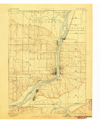
1893 Map of Leclaire
USGS Topo · Published 1905About this map
The Mississippi River serves as the central artery for this late 19th-century landscape, dividing the riverfront communities of Iowa and Illinois. Major river towns like Leclaire and Princeton on the western bank face Port Byron and Cordova on the east, connected by the flow of trade and transit before modern bridge networks dominated the region. The map reveals a dense network of late-Victorian infrastructure, including the Chicago Milwaukee and St. Paul Railroad hugging the Illinois shoreline and the Chicago Rock Island and Pacific Railroad running along the Rock River to the south. Further inland, the terrain is defined by the Pleasant Valley and the confluence where the Wapsipinicon River meets the Mississippi, highlighting the water-driven settlement patterns that established villages like Hampton and Watertown during this era of peak river commerce.
Find a feature on this map
37 named features on this map. Tap any name to fly to it.
Don’t see what you’re looking for? This feature index may not catch every label — zoom into the map to look around manually.
Map Details
Editions of this 1893 Leclaire Map
4 editions found
Other maps of this area

1891 · DeWitt
USGS Topo · 1:62,500

1891 · Davenport
USGS Topo · 1:62,500

1891 · Clinton
USGS Topo · 1:62,500

1892 · Goose Lake
USGS Topo · 1:62,500

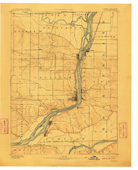
1892 · Leclaire
USGS Topo · 1:62,500

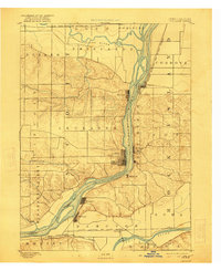
1893 · Leclaire
USGS Topo · 1:62,500

1894 · Goose Lake
USGS Topo · 1:62,500

1894 · Clinton
USGS Topo · 1:62,500

1894 · Davenport
USGS Topo · 1:62,500

1899 · Clinton
USGS Topo · 1:125,000