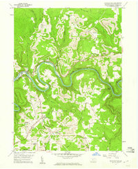
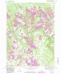
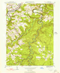
1959 Map of Lecontes Mills
USGS Topo · Published 1960About this map
The West Branch Susquehanna River carves a dramatic winding course through this section of Clearfield County, defining a landscape dominated by the coal and transportation industries. In the late 1950s, the area's industrial character is punctuated by numerous Strip Mine operations and infrastructure like the Shawville Tunnel and the Central New York River rail lines. Small residential clusters and crossroads settlements such as Lecontes Mills, Shawville, and Gillingham serve as community hubs, each anchored by local landmarks. Genealogists can find significant local history in the many rural religious and burial sites, including Egypt Ch, Pleasant Valley Ch, and Murray Cem. Cultural markers of the era are visible in the landscape, from the Township Sch to a Drive-in Theater located near Mineral Springs.
Find a feature on this map
55 named features on this map. Tap any name to fly to it.
Don’t see what you’re looking for? This feature index may not catch every label — zoom into the map to look around manually.
Map Details
Editions of this 1959 Lecontes Mills Map
6 editions found
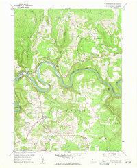
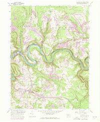
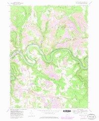

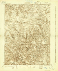
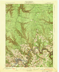
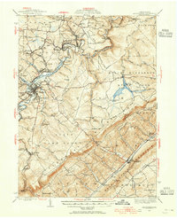
Other maps of this area

1903 · Houtzdale
USGS Topo · 1:62,500

1905 · Houtzdale
USGS Topo · 1:62,500

1922 · Philipsburg
USGS Topo · 1:62,500

1929 · Karthaus
USGS Topo · 1:62,500
1929 · Clearfield
USGS Topo · 1:48,000
1932 · Clearfield
USGS Topo · 1:62,500

1932 · Karthaus
USGS Topo · 1:62,500
1939 · Philipsburg
USGS Topo · 1:62,500
1944 · Glen Richey
USGS Topo · 1:24,000
1945 · Philipsburg
USGS Topo · 1:62,500