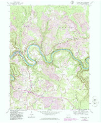
1959 Map of Lecontes Mills
USGS Topo · Published 1986About this map
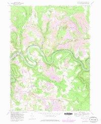
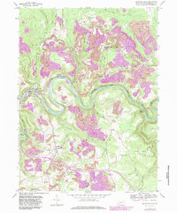
The West Branch Susquehanna River cuts a deep, winding path through this portion of Clearfield County, creating a landscape defined by sharp meanders and heavy industrial activity. During the mid-20th century, the region was characterized by extensive surface mining, with numerous strip mines and various mines dotting the hillsides of Goshen, Girard, and Bradford townships. The Conrail railroad tracks follow the river's contours, serving the extraction economy that fueled small settlements like Shawville and Lecontes Mills.
Find a feature on this map
65 named features on this map. Tap any name to fly to it.
Don’t see what you’re looking for? This feature index may not catch every label — zoom into the map to look around manually.
Map Details
Editions of this 1959 Lecontes Mills Map
6 editions found
Other maps of this area

1903 · Houtzdale
USGS Topo · 1:62,500

1905 · Houtzdale
USGS Topo · 1:62,500

1922 · Philipsburg
USGS Topo · 1:62,500

1929 · Karthaus
USGS Topo · 1:62,500

1929 · Clearfield
USGS Topo · 1:48,000

1932 · Clearfield
USGS Topo · 1:62,500

1932 · Karthaus
USGS Topo · 1:62,500

1939 · Philipsburg
USGS Topo · 1:62,500
1944 · Glen Richey
USGS Topo · 1:24,000

1945 · Philipsburg
USGS Topo · 1:62,500