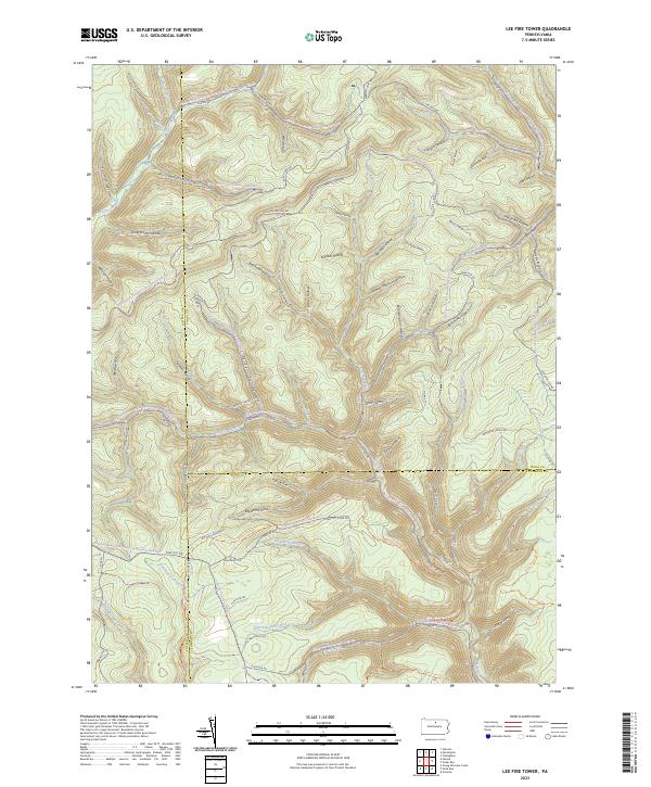
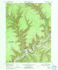
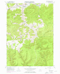
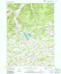
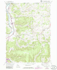
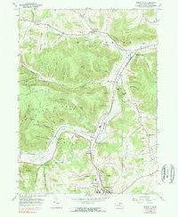
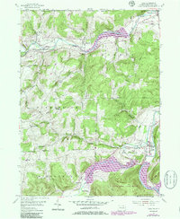
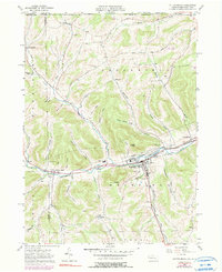
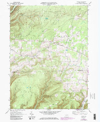
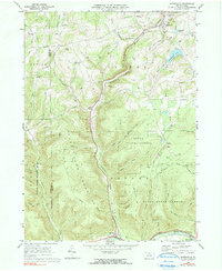
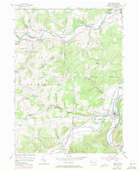
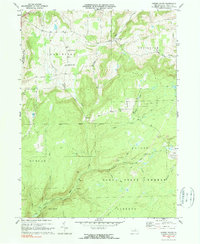
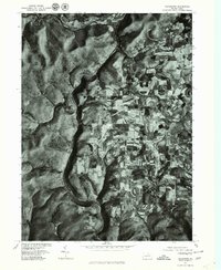
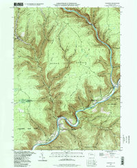
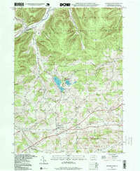
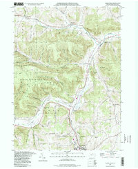
2023 Map of Lee Fire Tower
USGS Topo · Published 2023About this map
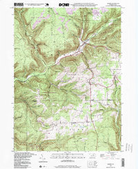
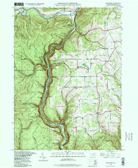
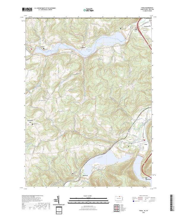
Kettle Creek and its complex network of tributaries flow through this high-plateau region at the junction of Potter, Tioga, and Lycoming counties. The landscape is defined by deep drainages with distinctive local names like Gas Well Hollow and Farmer Shanty Hollow, reflecting early industrial and timber-era activities. The map reveals a dense infrastructure of forest access including the Francis-Leetonia corridor and the Black Forest Trl, which navigate the steep transition between the ridges and the valley floors of the Francis Branch and Slate Run. This contemporary survey illustrates how historic pathways have been repurposed for modern recreation, showing the extensive Tioga State Forest Snowmobile Trails Trl and Coudy Pike Snowmobile Trails Trl. Local resource extraction history is preserved in names like Clay Mine Rd and Pipeline Rd, indicating the area's continued role in energy and mineral transit across the Pennsylvania Wilds.
Find a feature on this map
81 named features on this map. Tap any name to fly to it.
Don’t see what you’re looking for? This feature index may not catch every label — zoom into the map to look around manually.
Map Details
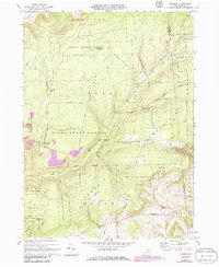
Editions of this 2023 Lee Fire Tower Map
This is the sole edition of this map. No revisions or reprints were ever made.
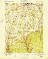
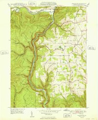
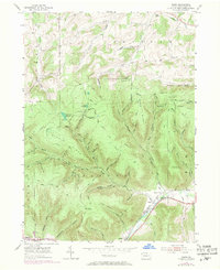
Historical Maps of Abbott Township Through Time
54 maps found

1900 Tioga
Tioga County, PA
1902 Tioga
Tioga County, PA

1924 Woodhull
Tioga County, PA
1946 Antrim
Tioga County, PA
1946 Antrim
Tioga County, PA
1946 Cedar Run
Tioga County, PA
1946 Morris
Tioga County, PA
1946 Tiadaghton
Tioga County, PA
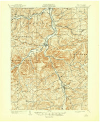
1947 Lee Fire Tower
Tioga County, PA
1947 Marshlands
Tioga County, PA
1948 Antrim
Tioga County, PA

1948 Cedar Run
Tioga County, PA
1948 Tiadaghton
Tioga County, PA

1950 Lee Fire Tower
Tioga County, PA

1950 Marshlands
Tioga County, PA

1950 Morris
Tioga County, PA
1954 Asaph
Tioga County, PA
1954 Crooked Creek
Tioga County, PA
1954 Jackson Summit
Tioga County, PA
1954 Kenneyville
Tioga County, PA
1954 Tioga
Tioga County, PA
1957 Potter Brook
Tioga County, PA
1969 Nauvoo
Tioga County, PA
1969 Sabinsville
Tioga County, PA
1969 Tioga
Tioga County, PA
1970 Cherry Flats
Tioga County, PA
1970 Gleason
Tioga County, PA

1977 Cedar Run
Tioga County, PA

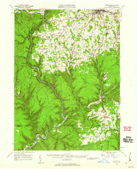
1977 Lee Fire Tower
Tioga County, PA
1977 Morris
Tioga County, PA
1977 Nauvoo
Tioga County, PA
1977 Tiadaghton
Tioga County, PA
1994 Cedar Run
Tioga County, PA
1994 Crooked Creek
Tioga County, PA
1994 Keeneyville
Tioga County, PA

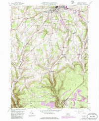
1994 Lee Fire Tower
Tioga County, PA
1994 Morris
Tioga County, PA
1994 Tiadaghton
Tioga County, PA
2023 Antrim
Tioga County, PA
2023 Asaph
Tioga County, PA
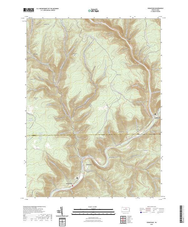
2023 Cedar Run
Tioga County, PA
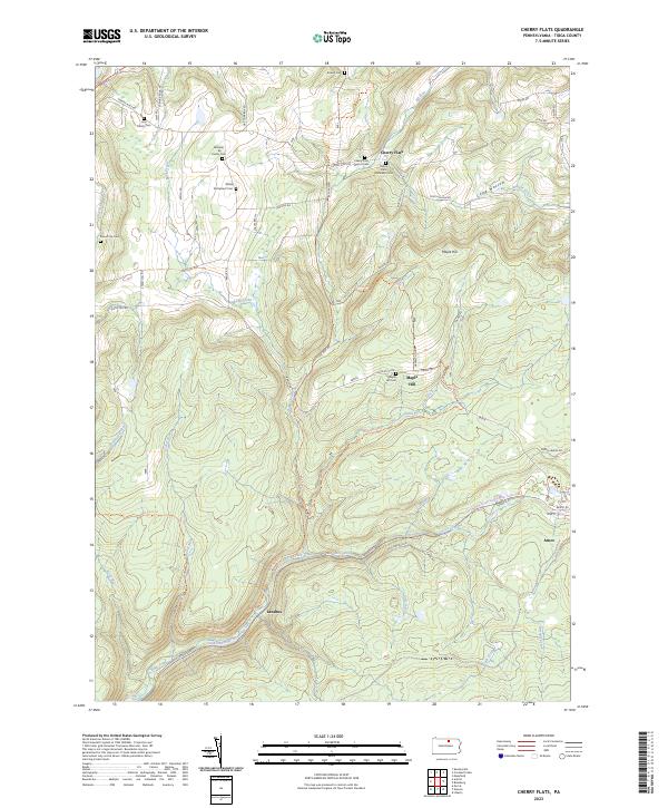
2023 Cherry Flats
Tioga County, PA
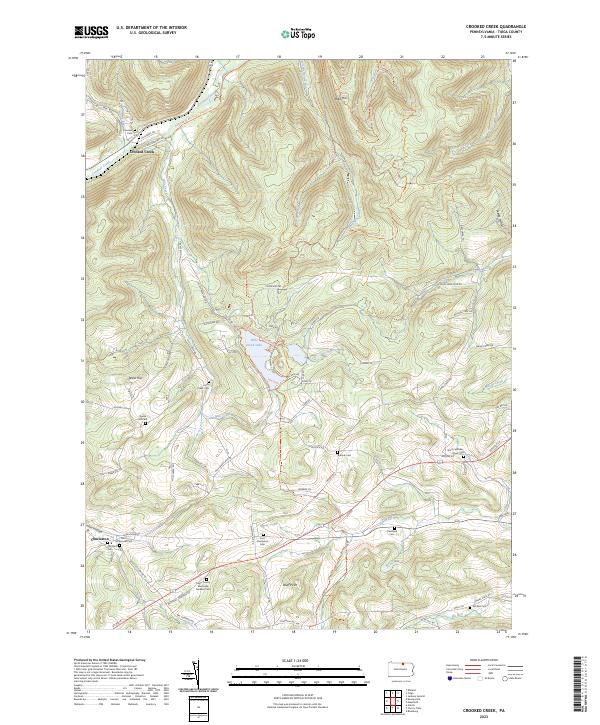
2023 Crooked Creek
Tioga County, PA
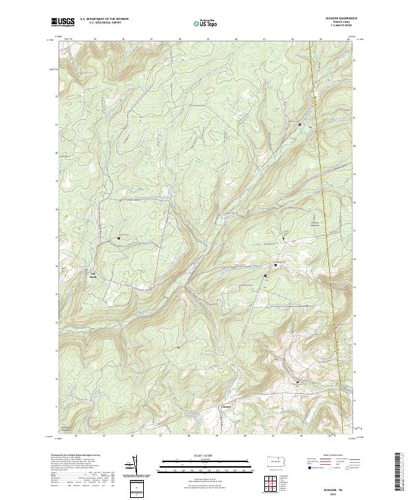
2023 Gleason
Tioga County, PA
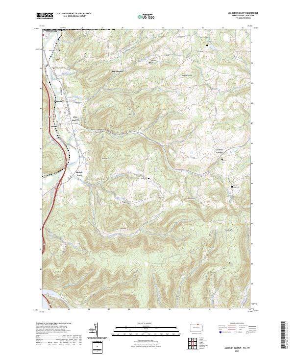
2023 Jackson Summit
Tioga County, PA
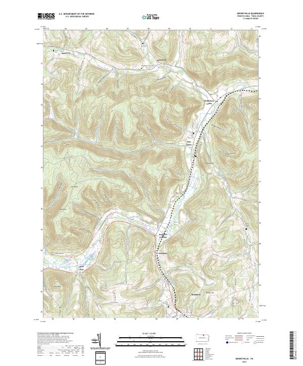
2023 Keeneyville
Tioga County, PA
2023 Lee Fire Tower
Tioga County, PA
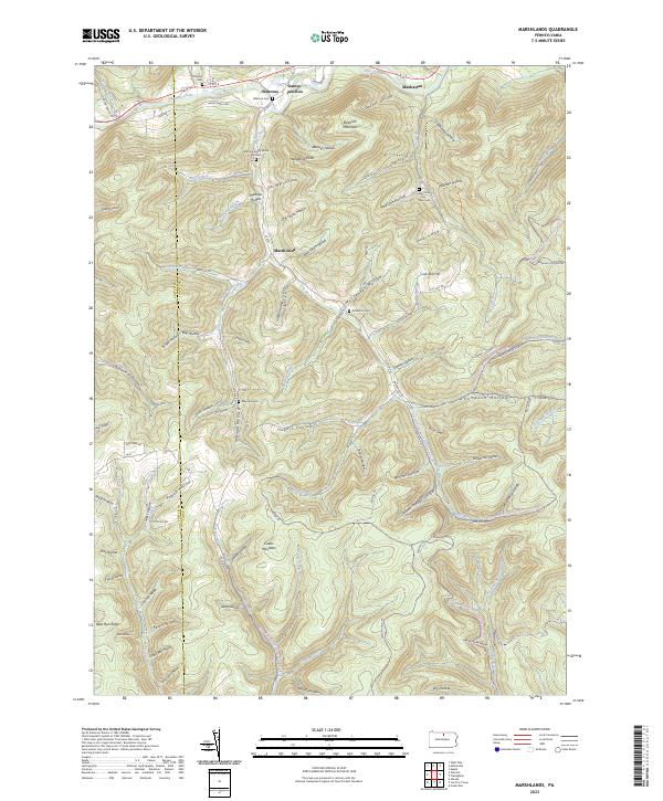
2023 Marshlands
Tioga County, PA
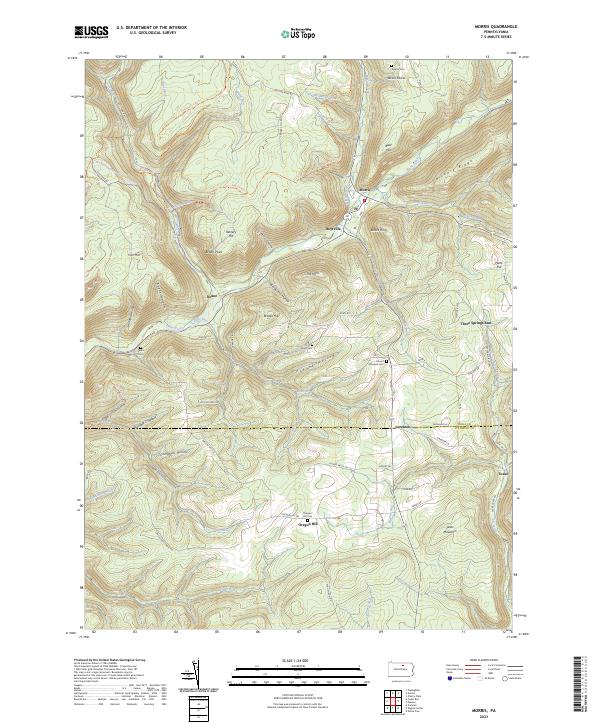
2023 Morris
Tioga County, PA
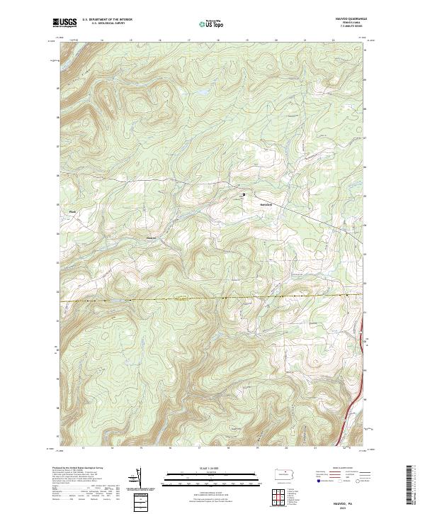
2023 Nauvoo
Tioga County, PA
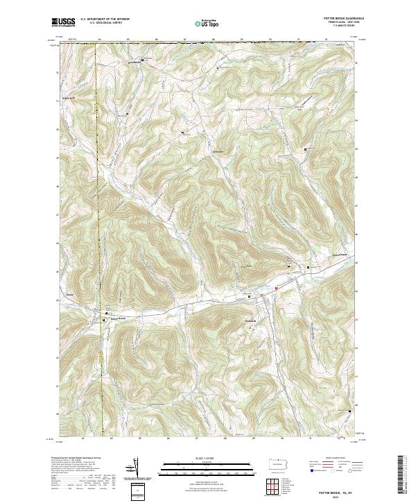
2023 Potter Brook
Tioga County, PA
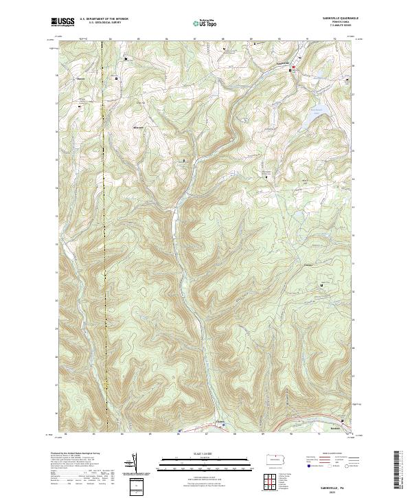
2023 Sabinsville
Tioga County, PA
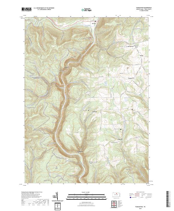
2023 Tiadaghton
Tioga County, PA
2023 Tioga
Tioga County, PA