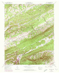
1939 Map of Lee Valley
USGS Topo · Published 1973About this map
Clinch Mountain and Copper Ridge define the parallel topography of this Northeast Tennessee landscape, where small rural communities are tucked into the valleys between long, limestone-based ridges. The 1939 survey, updated with 1971 aerial data, reveals a pattern of ridge-and-valley settlement where life centered on family farms and country churches such as War Creek Ch and Spruce Pine Ch. Several small clusters like Lee Valley and Treadway anchor the map, while named gaps such as Chestnut Flats Gap and Big War Gap indicate the historical importance of mountain crossings for local travel.
Find a feature on this map
48 named features on this map. Tap any name to fly to it.
Don’t see what you’re looking for? This feature index may not catch every label — zoom into the map to look around manually.
Map Details
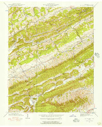
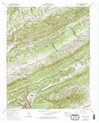
Editions of this 1939 Lee Valley Map
3 editions found
Other maps of this area

1883 · Morristown
USGS Topo · 1:125,000

1887 · Jonesville
USGS Topo · 1:125,000

1891 · Jonesville
USGS Topo · 1:125,000

1893 · Morristown
USGS Topo · 1:125,000

1895 · Morristown
USGS Topo · 1:125,000

1932 · Hagan
USGS Topo · 1:62,500

1935 · Rogersville
USGS Topo · 1:48,000

1935 · Tate Springs
USGS Topo · 1:48,000

1935 · Kyles Ford
USGS Topo · 1:24,000

1935 · Lee Valley
USGS Topo · 1:24,000