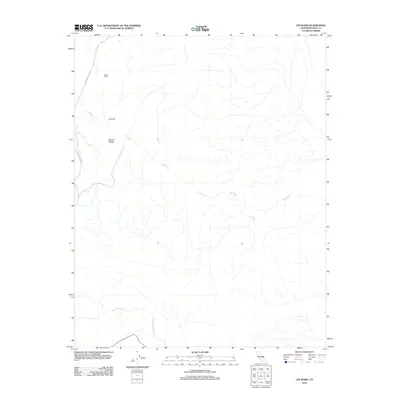
2012 Map of Lee Wash
USGS Topo · Published 2012About this map
Wilson Ranch stands as a lone namesake landmark in this arid portion of Inyo County, situated where the high desert terrain of Lee Flat meets the Darwin Plateau. The landscape is defined by its complex drainage network, primarily the westward-trending Lee Wash and the southern Santa Rosa Wash, which carve through the high-elevation basin. This 2012 survey illustrates a sparsely settled region where transportation is limited to the remote Saline Valley Rd, providing essential access to the ranching and geographical features of this high-desert environment. The map captures a moment in the modern era of the California desert, showing the enduring names of early settlements and landforms that have guided travelers through this territory for decades.
Find a feature on this map
6 named features on this map. Tap any name to fly to it.
Don’t see what you’re looking for? This feature index may not catch every label — zoom into the map to look around manually.
Map Details
Editions of this 2012 Lee Wash Map
This is the sole edition of this map. No revisions or reprints were ever made.
Other maps of this area

1908 · Ballarat
USGS Topo · 1:250,000

1913 · Ballarat
USGS Topo · 1:250,000

1948 · Death Valley
USGS Topo · 1:250,000

1950 · Darwin
USGS Topo · 1:62,500

1950 · Ubehebe Peak
USGS Topo · 1:62,500

1951 · Darwin
USGS Topo · 1:62,500

1951 · Ubehebe Peak
USGS Topo · 1:62,500

1951 · Panamint Butte
USGS Topo · 1:62,500

1951 · Marble Canyon
USGS Topo · 1:62,500

1954 · Death Valley
USGS Topo · 1:250,000