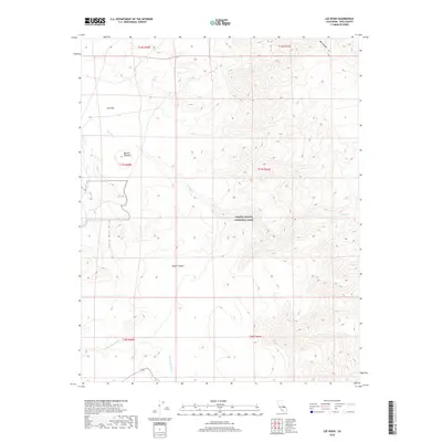
2018 Map of Lee Wash
USGS Topo · Published 2018About this map
Death Valley National Park encompasses a significant portion of this high-desert landscape in eastern California, where the northern reaches of the Mojave Desert meet the rising elevations of the Santa Rosa Hills. The terrain is defined by dry drainage systems such as Lee Wash and Santa Rosa Wash, which illustrate the complex alluvial patterns that shape this arid environment. The map provides a detailed view of the Darwin Plateau and Lee Flat, showing how the topography transitions from relatively level high-elevation basins to the deep, narrow incisions of Mill Canyon. These geographical features suggest a landscape where water and elevation have historically dictated travel and access, offering researchers a clear look at the undeveloped natural boundaries that define this section of Inyo County.
Find a feature on this map
14 named features on this map. Tap any name to fly to it.
Don’t see what you’re looking for? This feature index may not catch every label — zoom into the map to look around manually.
Map Details
Editions of this 2018 Lee Wash Map
This is the sole edition of this map. No revisions or reprints were ever made.
Other maps of this area

1908 · Ballarat
USGS Topo · 1:250,000

1913 · Ballarat
USGS Topo · 1:250,000

1948 · Death Valley
USGS Topo · 1:250,000

1950 · Darwin
USGS Topo · 1:62,500

1950 · Ubehebe Peak
USGS Topo · 1:62,500

1951 · Darwin
USGS Topo · 1:62,500

1951 · Ubehebe Peak
USGS Topo · 1:62,500

1951 · Panamint Butte
USGS Topo · 1:62,500

1951 · Marble Canyon
USGS Topo · 1:62,500

1954 · Death Valley
USGS Topo · 1:250,000