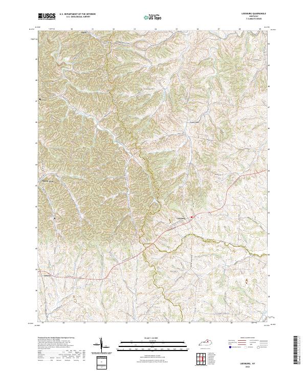
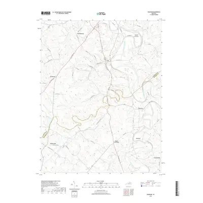
2022 Map of Leesburg
USGS Topo · Published 2022About this map
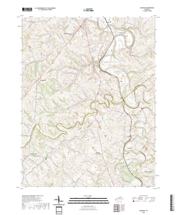
Leesburg and the surrounding Bluegrass region of Kentucky are defined by a complex network of historic pikes and winding waterways that cross the borders of Scott, Harrison, and Bourbon counties. This landscape is anchored by the historic crossroads at Oxford and the village of Leesburg, where the Leesburg Pike meets the Leesburg Newtown Rd. The area’s geography is heavily influenced by the drainage patterns of East Fork Eagle Creek and Mill Cr, with the prominent Dividing Ridge Line Rd tracing the high ground. Local history is preserved in sites like Hinton Cem and Sharon Cem, while smaller settlements such as Muddy Ford and Lees Lick indicate the long-standing agricultural and residential patterns of the region. The map reveals how the modern transportation network, including Cynthiana Rd, follows the same paths established by early settlers navigating the creek valleys and ridgelines.
Find a feature on this map
62 named features on this map. Tap any name to fly to it.
Don’t see what you’re looking for? This feature index may not catch every label — zoom into the map to look around manually.
Map Details
Editions of this 2022 Leesburg Map
This is the sole edition of this map. No revisions or reprints were ever made.
Historical Maps of Lees Lick Through Time
30 maps found
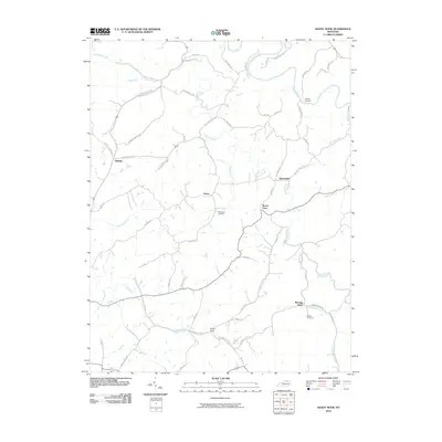
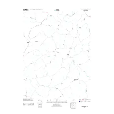
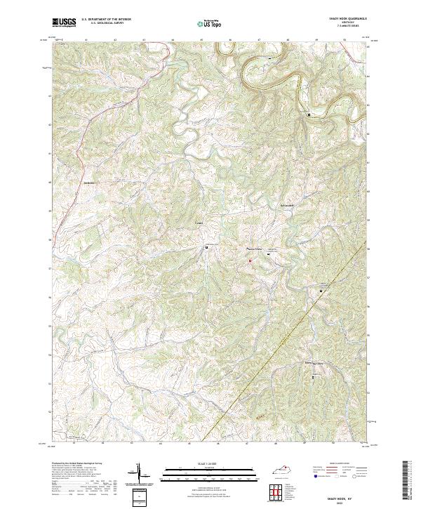
1952 Shady Nook
Harrison County, KY
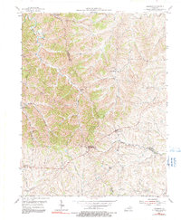
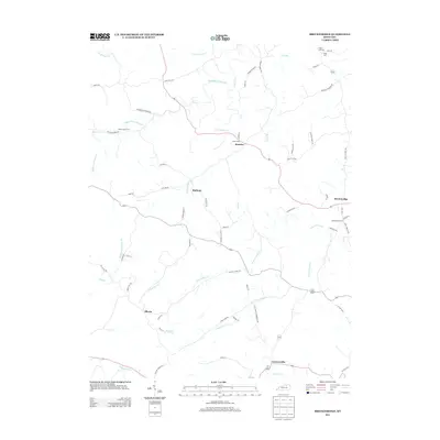
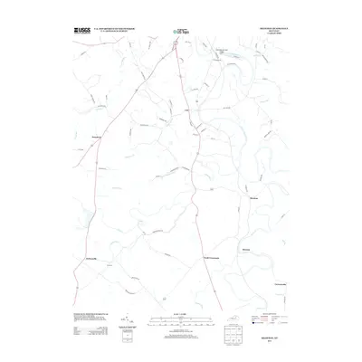
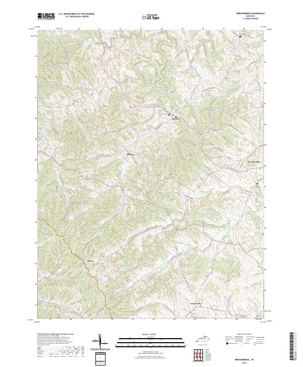
1953 Breckinridge
Harrison County, KY
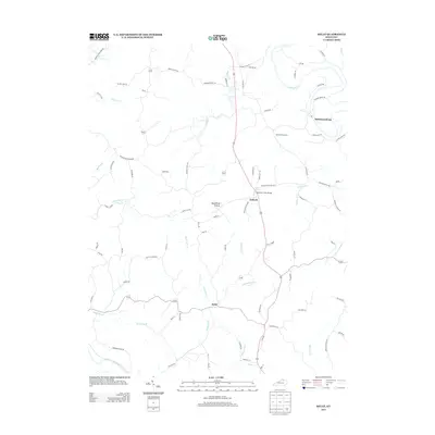
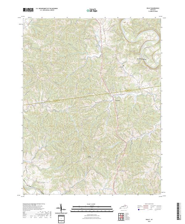
1953 Kelat
Harrison County, KY
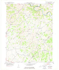
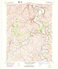
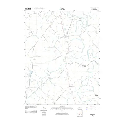
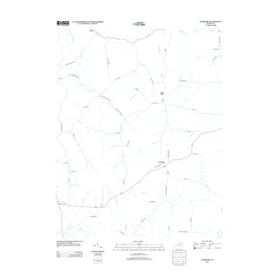
1954 Leesburg
Harrison County, KY
1954 Shawhan
Harrison County, KY
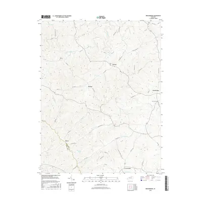
2010 Breckinridge
Harrison County, KY

2010 Kelat
Harrison County, KY
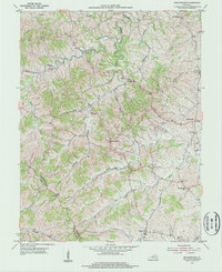
2010 Leesburg
Harrison County, KY
2010 Shady Nook
Harrison County, KY
2010 Shawhan
Harrison County, KY
2013 Breckinridge
Harrison County, KY
2013 Kelat
Harrison County, KY
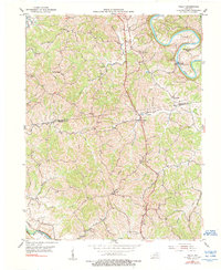
2013 Leesburg
Harrison County, KY
2013 Shady Nook
Harrison County, KY
2013 Shawhan
Harrison County, KY
2016 Breckinridge
Harrison County, KY
2016 Kelat
Harrison County, KY
2016 Leesburg
Harrison County, KY
2016 Shady Nook
Harrison County, KY
2016 Shawhan
Harrison County, KY
2019 Breckinridge
Harrison County, KY
2019 Kelat
Harrison County, KY
2019 Leesburg
Harrison County, KY
2019 Shady Nook
Harrison County, KY
2019 Shawhan
Harrison County, KY
2022 Breckinridge
Harrison County, KY
2022 Kelat
Harrison County, KY
2022 Leesburg
Harrison County, KY
2022 Shady Nook
Harrison County, KY
2022 Shawhan
Harrison County, KY