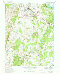
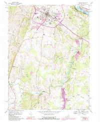
1968 Map of Leesburg
USGS Topo · Published 1973About this map
Leesburg and its surrounding countryside are captured during a period of transition in the late 1960s and early 1970s. The town core, marked by the Hospital and National Childrens Rehabilitation Center, is shown alongside emerging suburban infrastructure like the Sewage Disposal plant and several radio towers. To the east, the Potomac River forms the boundary between Montgomery Co and Loudoun Co, paralleled by the historic C&O Canal.
Find a feature on this map
55 named features on this map. Tap any name to fly to it.
Don’t see what you’re looking for? This feature index may not catch every label — zoom into the map to look around manually.
Map Details
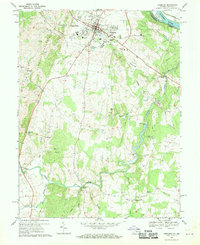
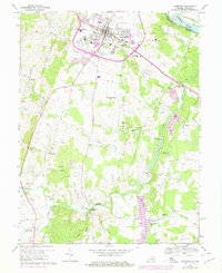
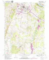
Editions of this 1968 Leesburg Map
5 editions found
Other maps of this area

1884 · Harpers Ferry
USGS Topo · 1:125,000

1890 · Mt. Vernon
USGS Topo · 1:125,000

1891 · Harpers Ferry
USGS Topo · 1:125,000

1891 · Mt. Vernon
USGS Topo · 1:125,000

1893 · Frederick
USGS Topo · 1:125,000

1893 · Harpers Ferry
USGS Topo · 1:125,000

1894 · Warrenton
USGS Topo · 1:125,000

1894 · Frederick
USGS Topo · 1:125,000

1894 · Mt. Vernon
USGS Topo · 1:125,000

1897 · Mt. Vernon
USGS Topo · 1:125,000