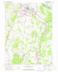
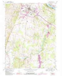
1968 Map of Leesburg
USGS Topo · Published 1978About this map
Leesburg serves as the focal point of this northern Virginia landscape, showing a period of transition as suburban footprints expand near the historic town center. Local institutions like Douglas High Sch and the National Childrens Rehabilitation Center sit among residential growth, while the Old Railroad Grade marks the path of former transportation lines. To the north, the Potomac River and C & O Canal define the state border with Maryland at Harrison Island.
Find a feature on this map
52 named features on this map. Tap any name to fly to it.
Don’t see what you’re looking for? This feature index may not catch every label — zoom into the map to look around manually.
Map Details
Editions of this 1968 Leesburg Map
5 editions found
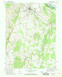
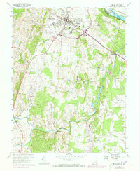
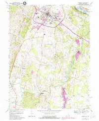
Other maps of this area

1884 · Harpers Ferry
USGS Topo · 1:125,000

1890 · Mt. Vernon
USGS Topo · 1:125,000

1891 · Harpers Ferry
USGS Topo · 1:125,000

1891 · Mt. Vernon
USGS Topo · 1:125,000

1893 · Frederick
USGS Topo · 1:125,000

1893 · Harpers Ferry
USGS Topo · 1:125,000

1894 · Warrenton
USGS Topo · 1:125,000

1894 · Frederick
USGS Topo · 1:125,000

1894 · Mt. Vernon
USGS Topo · 1:125,000

1897 · Mt. Vernon
USGS Topo · 1:125,000