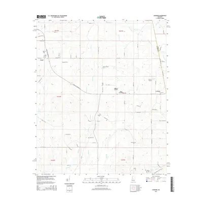
2015 Map of Leesburg
USGS Topo · Published 2015About this map
Leesburg Prairie and Rollison Prairie characterize the open, rolling landscape of this region on the border of Rankin and Scott counties. The area is defined by a dense network of local cemeteries and small crossroads settlements, including Pisgah, Bilbros Corner, and West Leesburg. These landmarks, such as Mount Pisgah Cem and the Hollybush Cem, offer significant detail for genealogical research in this rural corridor.
Find a feature on this map
82 named features on this map. Tap any name to fly to it.
Don’t see what you’re looking for? This feature index may not catch every label — zoom into the map to look around manually.
Map Details
Editions of this 2015 Leesburg Map
This is the sole edition of this map. No revisions or reprints were ever made.
Other maps of this area

1922 · Morton
USGS Topo · 1:48,000

1922 · Pelahatchee
USGS Topo · 1:48,000

1924 · Pelahatchee
USGS Topo · 1:62,500

1924 · Morton
USGS Topo · 1:62,500

1950 · Pelahatchie
USGS Topo · 1:62,500

1951 · Morton
USGS Topo · 1:62,500

1952 · Pelahatchie
USGS Topo · 1:62,500

1953 · Meridian
USGS Topo · 1:250,000

1957 · Meridian
USGS Topo · 1:250,000

1960 · Sharon
USGS Topo · 1:62,500