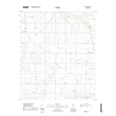
2018 Map of Leesburg
USGS Topo · Published 2018About this map
The boundary of Rankin Co and Scott Co divides this rural Mississippi landscape, characterized by distinct prairie openings and a network of named creeks. Small rural communities like Pisgah and Leesburg serve as the primary hubs, with the latter featuring the Leesburg Prairie and Leesburg Cemetery. For genealogists and local historians, the high density of burial grounds is significant, including family and community sites such as Mount Pisgah Cem, Rehobeth Cem, and the more remote Neal Cem near Barefoot Spring.
Find a feature on this map
84 named features on this map. Tap any name to fly to it.
Don’t see what you’re looking for? This feature index may not catch every label — zoom into the map to look around manually.
Map Details
Editions of this 2018 Leesburg Map
This is the sole edition of this map. No revisions or reprints were ever made.
Other maps of this area

1922 · Morton
USGS Topo · 1:48,000

1922 · Pelahatchee
USGS Topo · 1:48,000

1924 · Pelahatchee
USGS Topo · 1:62,500

1924 · Morton
USGS Topo · 1:62,500

1950 · Pelahatchie
USGS Topo · 1:62,500

1951 · Morton
USGS Topo · 1:62,500

1952 · Pelahatchie
USGS Topo · 1:62,500

1953 · Meridian
USGS Topo · 1:250,000

1957 · Meridian
USGS Topo · 1:250,000

1960 · Sharon
USGS Topo · 1:62,500