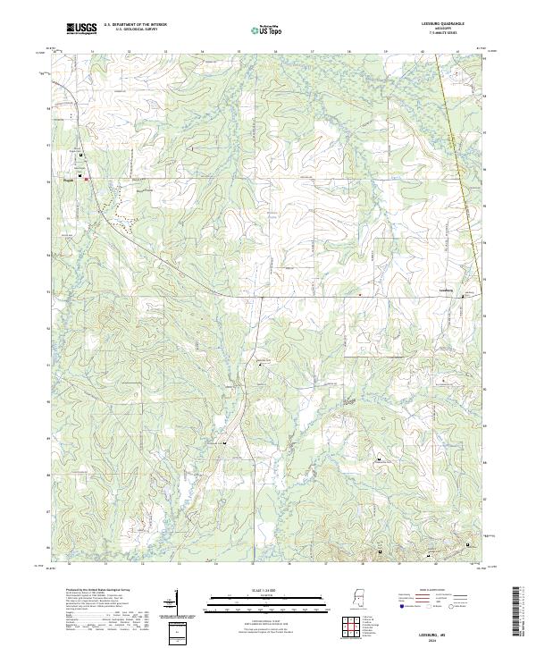
2024 Map of Leesburg
USGS Topo · Published 2024About this map
Round Prairie and Rollison Prairie define the central landscape of this Rankin County region, where the terrain transitions between open reaches and the wooded drainages of Riley Creek and Fannegusha Creek. The settlement of Pisgah serves as a northern anchor, characterized by a cluster of local heritage sites including Mount Pisgah Cem and New Pisgah Cem. To the east, the community of Leesburg sits near the border of Scott County, marked by its namesake Leesburg Cem.
Find a feature on this map
76 named features on this map. Tap any name to fly to it.
Don’t see what you’re looking for? This feature index may not catch every label — zoom into the map to look around manually.
Map Details
Editions of this 2024 Leesburg Map
This is the sole edition of this map. No revisions or reprints were ever made.
Other maps of this area

1922 · Morton
USGS Topo · 1:48,000

1922 · Pelahatchee
USGS Topo · 1:48,000

1924 · Pelahatchee
USGS Topo · 1:62,500

1924 · Morton
USGS Topo · 1:62,500

1950 · Pelahatchie
USGS Topo · 1:62,500

1951 · Morton
USGS Topo · 1:62,500

1952 · Pelahatchie
USGS Topo · 1:62,500

1953 · Meridian
USGS Topo · 1:250,000

1957 · Meridian
USGS Topo · 1:250,000

1960 · Sharon
USGS Topo · 1:62,500